
What is recorded here
This site was excavated (E3500) during 2005 as Site 40 of the N11 Gorey to Arklow link. Located on a slight shelf on the lower W-facing slope of Ask Hill. A mound of broken and burnt stone (dims 5.7m x 4.9m; T 0.27m) overlay a circular, nearly straight-sided and flat-bottomed trough (diam. 1.9-2m; D 0.95m) which had been re-cut. A group of stake-holes immediately to the S could have pre-dated it, but a roughly metalled surface partly overlies the trough, although also incorporated into the mound. Five pits (diam. c. 0.7m-1.5m; D 0.1-0.5m) at a distance from the mound (10-20m) are probably related as many contain burnt mound material. The furnace (WX007-074002-) is just S of the trough. The house (WX007-073----) is c. 100m to the SW and the fulacht fia (WX007-075----) is c. 100m to the N. (Bower 2008)
Compiled by: Michael Moore
Date of upload: 16 March, 2012
The monument record does not grant public access. Check the route and ask the landowner before entering private land.
- What survives
- Recorded monument
Places near here
 Embanked enclosureFairy fort / earthen ringfort · 590 yd
 Structure in AskStructure · 675 yd
 Kiln in ToberduffKiln · 1166 yd
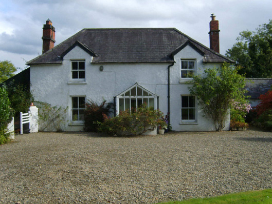 Ballytegan Housefarm house · 1.1 mi
 Johnston's gumJohnston's gum · 1.7 mi
 CastleCastle, unclassified · 1.7 mi
 Tara HillMountain / peak · 1.9 mi
 Kia Ora Mini FarmHeritage attraction · 1.9 mi
 Curragh WoodWood · 2.0 mi
 Market HouseHeritage attraction · 2.3 mi
 1798 MonumentMemorial · 2.7 mi
 Laraheen HillMountain / peak · 2.7 mi
Other information
Photo: Credit not shown in the picture search · Rights wording not checked; contact us if this picture should be removed