What is recorded here
Fairy fort in Fringestown, County Meath: a subcircular earthen ringfort about forty metres across on a slight rise, its shallow scarp still marking the edge though no ditch remains obvious. People may have lived there, fled there, or simply avoided the hollow where the ground swells like a buried breath. Mapmakers forgot it, yet satellite images keep returning it, a pale ring in ordinary fields.
Situated on a rise in a slight hollow of a gently undulating landscape. This feature is not depicted on any map but it is faintly visible on OSI images (1995, 2005, 2013-2018) as well as various views on Google Earth. It was described in 1968 (SMR file) as a subcircular raised area (dims 40m NNW-SSE; 35m ENE-WSW) defined by scarp (at S: Wth 6m; H 1.2m; at N: Wth 5.5m; H 1.3m). There was no visible fosse, but the entrance might be on the slighter scarp at E.
See the attached enhanced view from OSAP (1995)
The above description is derived from the published 'Archaeological Inventory of County Meath' (Dublin: Stationery Office, 1987). In certain instances the entries have been revised and updated in the light of recent research.
Compiled by: Michael Moore
Date of upload: 10 July 2007
Amended: 2 August 2022
The monument record does not grant public access. Check the route and ask the landowner before entering private land.
- What survives
- Recorded monument
Places near here
 IndicatedEnclosure · 1008 yd
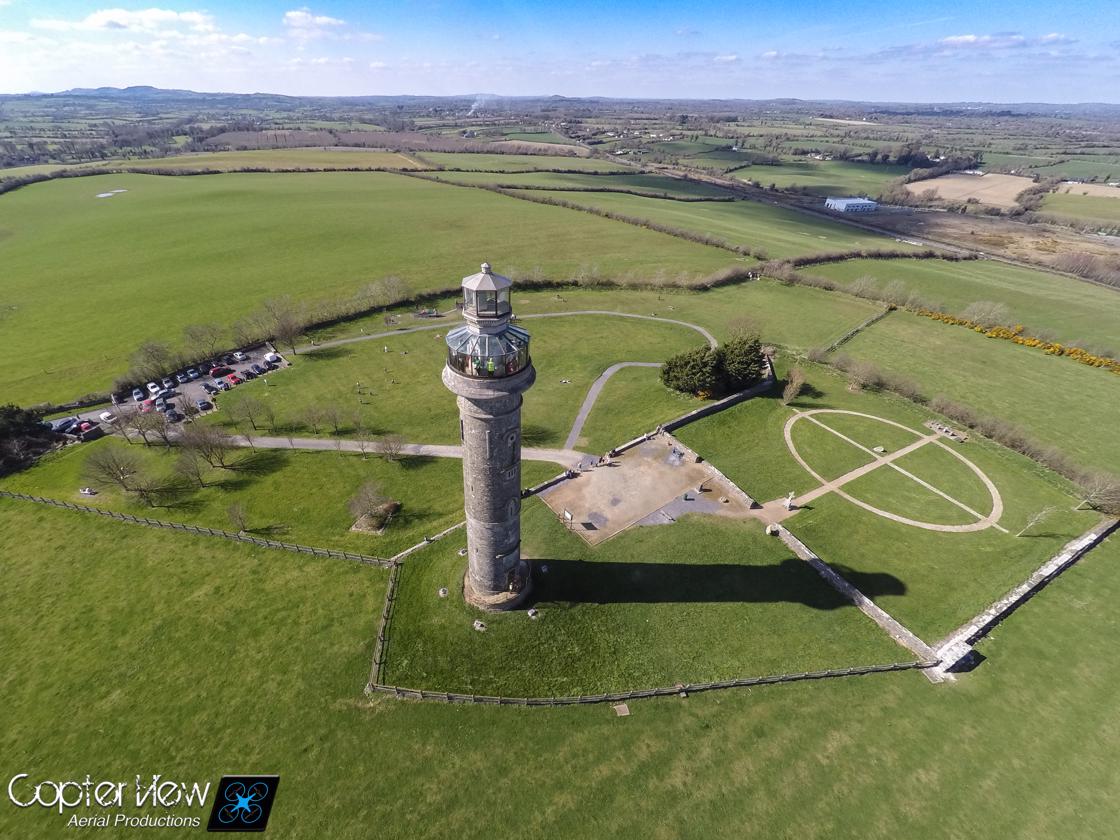 Trinity WellHoly well · 1151 yd
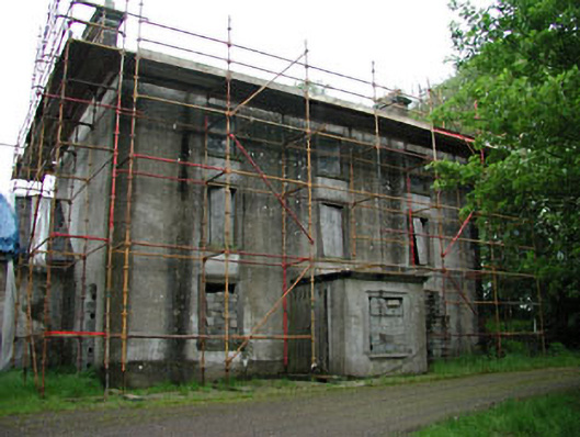 Stephenstown Housecountry house · 1356 yd
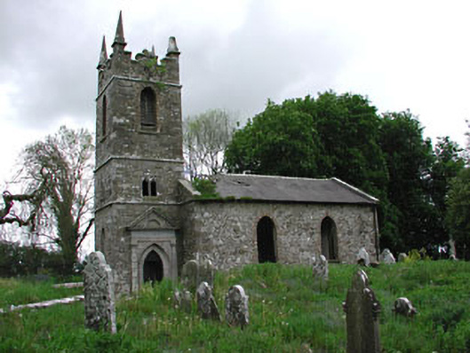 Saint Patrick's Church (Castletown)church/chapel · 1615 yd
 Stokestown CastleCastle, unclassified · 1.0 mi
 Castletown FortCastle, motte and bailey · 1.4 mi
 Ugly HillMountain / peak · 1.5 mi
 HeadstownMountain / peak · 1.5 mi
 Headstown ForestForest · 1.5 mi
 Fox CovertWood · 2.0 mi
 Nobber GreenwayMemorial · 3.0 mi
 Owenroe and Moynalty DrainageMemorial · 4.8 mi