What is recorded here
No visible traces remain, but the ground still holds the shape of a defended annexe tied to a preceptory. Two hidden fosses and a broad bank once enclosed a rectangular area near the tower house, suggesting a place built to keep intruders out and perhaps store what the preceptory needed. The moat has vanished under soil and cultivation, yet the boundary may still exist beneath the grass, waiting for rain or excavation to reveal how tightly that local world was guarded.
The following description is derived from the published 'Archaeological Inventory of County Carlow' (Dublin: Stationery Office, 1993). In certain instances the entries have been revised and updated in the light of recent research.
Date of upload/revision: 17 July 2007
Aerial photographs (CUCAP AYL 41-45) show extensive cropmarks in area surrounding tower house (CW008-018002-). To SW of tower house cropmarks indicate rectangular area surrounded by two fosses and broad bank (max. dims. c. 60m NW-SE, 50m NE-SW). Attached to moated site is rectangular enclosure, also defined by two fosses with intervening bank (max. dims. c. 45m NW-SE, 30m NE-SW), suggesting well-defended annexe. No visible surface traces. Probably a moated site connected with preceptory (CW008-007----).
The monument record does not grant public access. Check the route and ask the landowner before entering private land.
- What survives
- Recorded monument
Places near here
 Friarstown Castle (in ruins)Castle, tower house · 81 yd
 Enclosure in FriarstownEnclosure · 1064 yd
 Enclosure in ArdnehueEnclosure · 1399 yd
 Site of CastleCastle, unclassified · 1625 yd
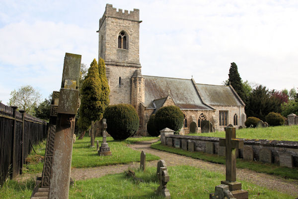 St. John the Baptists Preceptory (in Ruins)Religious house, Knights Hospitallers · 1.2 mi
 Catholic Church of Saint John the Baptistchurch/chapel · 1.2 mi
 Church (in Ruins), GraveyardChurch · 1.3 mi
 Duckett's GroveHeritage attraction · 1.7 mi
 Cork oakCork oak · 2.1 mi
 European YewEuropean Yew · 2.3 mi
 Brownshill Portal TombVisitor information · 2.7 mi
 Church (in ruins), Cross, GraveyardChurch · 3.0 mi