What is recorded here
Indicated is a fairy fort in County Mayo, Ireland, where a low earthen bank still divides level pasture into two unequal parts. People may have lived inside the rough circle before forgetting the names of those walls. The land keeps the shape even when memory leaves it behind.
In level pasture. Raised, roughly circular area (50m N-S; 56m E-W; H 1.5m), enclosed by earthen bank (H 1m), levelled S to NE. Low earthen bank (H 0.7m), running NE to S through interior, divides site into two unequal portions.
The above description has been derived from D. Lavelle (compiler), An Archaeological Survey of Ballinrobe and District including Lough Mask and Lough Carra. Lough Mask and Lough Carra Tourist Development Association (1994), No. 165.
Date of upload: 22 December 2014
The monument record does not grant public access. Check the route and ask the landowner before entering private land.
- What survives
- Recorded monument
Places near here
 Bawn in Cregduff (kilmaine By., Kilmainemore Par.)Bawn · 774 yd
 Enclosure in Frenchbrook SouthEnclosure · 1044 yd
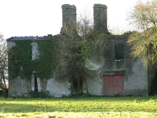 Fountainhillfarm house · 1225 yd
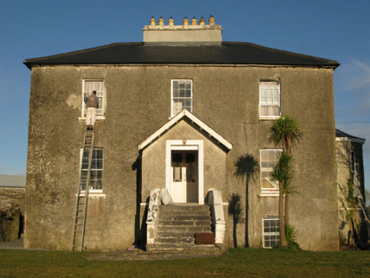 rectory/glebe/vicarage/curate's houserectory/glebe/vicarage/curate's house · 1275 yd
 Enclosure in FountainhillEnclosure · 1412 yd
 Bawn in Kilkeeran (kilmaine By., Kilmainebeg Par.)Bawn · 1.5 mi
 Cregg PlantationForest · 3.2 mi
 European YewEuropean Yew · 3.2 mi
 Gibbs IslandsIslet · 5.1 mi
 LabbadermotCave · 5.5 mi
 Easter IslandIslet · 5.6 mi
 School of FalconryHeritage attraction · 6.8 mi