What is recorded here
On a low NW-SE ridge in reclaimed pastureland. The surrounding fields were quite wet before reclaimation. Field boundaries to the W of the enclosure have been removed. The Aherlow river runs c. 100m to the SW. The monument was levelled in the 1980s but is still visible as a roughly square enclosure (diam. 26m NE-SW; 29.3m NW-SE) defined by a broad, flattened bank (Wth c. 10m; int. H 0.2m; ext. H 0.37-0.88m). The interior slopes slightly to the SW.
Compiled by: Jean Farrelly
Date of upload: 26 August 2011
The monument record does not grant public access. Check the route and ask the landowner before entering private land.
- What survives
- Recorded monument
Places near here
 Enclosure in Pollagh (templeneiry Par.)Enclosure · 556 yd
 IndicatedEnclosure · 1099 yd
 College Bridgebridge · 1241 yd
 Dromomarka Bridgebridge · 1590 yd
 Bansha ForestForest · 1.2 mi
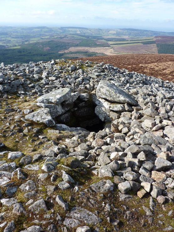 Site of Seefin CastleCastle, unclassified · 1.9 mi
 Bansha CastleCastle · 2.1 mi
 The RockViewpoint · 2.4 mi
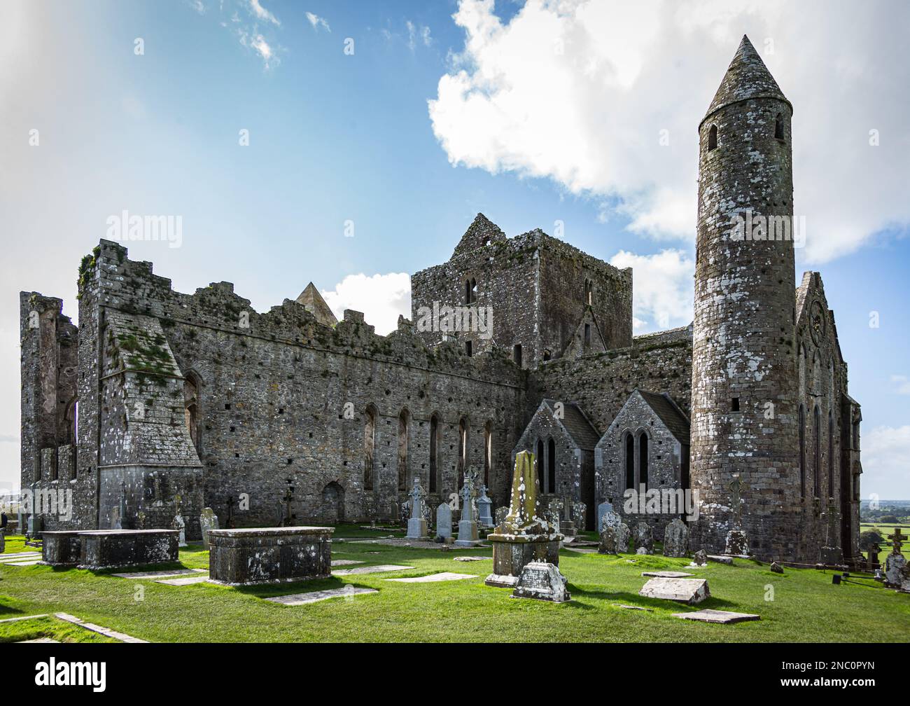 KnockastakeenMountain / peak · 2.6 mi
 Christ the KingViewpoint · 2.6 mi
 Glen of AherlowViewpoint · 2.7 mi
 Glengarra WoodWood · 2.8 mi