
What is recorded here
In pasture. A circular enclosure (diam. c. 30m) identified on Google Earth Pro imagery (imagery date 1 November 2018) by Jean-Charles Caillère.
See attached photograph:
TS074-027----_01 Image ©2019 CNEW/Airbus: Google Earth Pro satellite imagery (1 November 2018)
Compiled by: Jean Farrelly
Date of upload: 16 December 2019
A local fairy fort (ringfort/rath); wider significance not recorded.
The monument record does not grant public access. Check the route and ask the landowner before entering private land.
- What survives
- Recorded monument
Places near here
 College Bridgebridge · 902 yd
 Dromomarka Bridgebridge · 1037 yd
 IndicatedEnclosure · 1395 yd
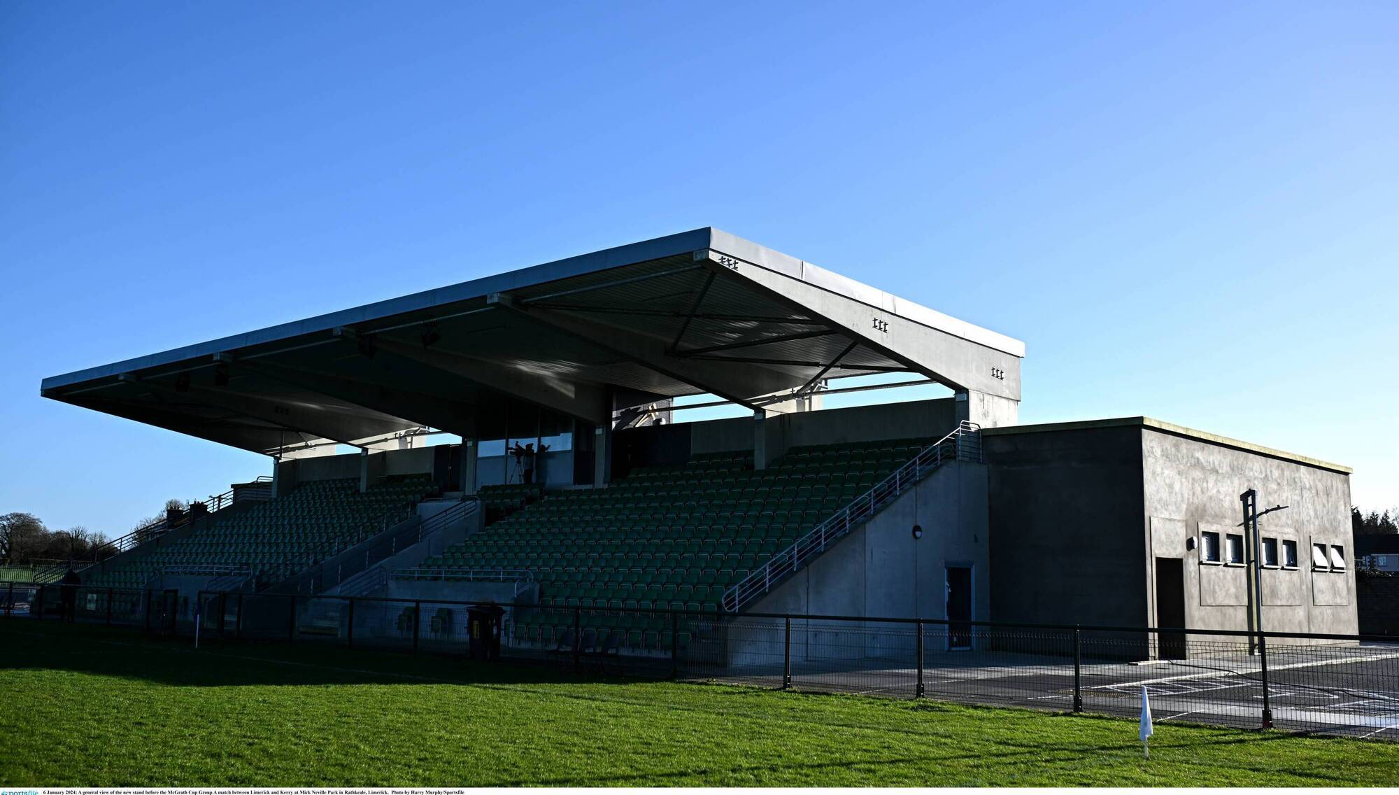 Enclosure in FoxfortEnclosure · 1.1 mi
 Bansha ForestForest · 1.4 mi
 Cordangan Castle ruinsCastle · 2.2 mi
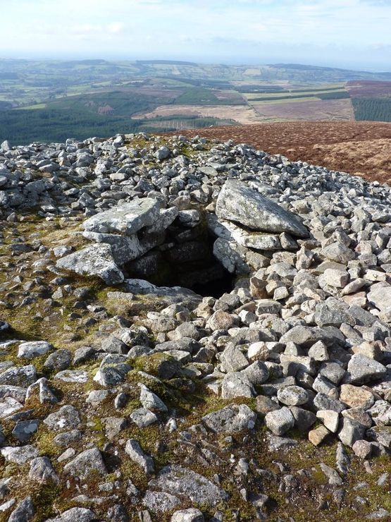 Site of Seefin CastleCastle, unclassified · 2.2 mi
 The RockViewpoint · 2.3 mi
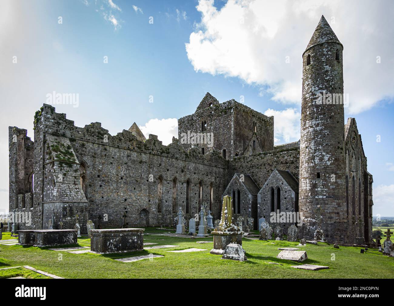 KnockastakeenMountain / peak · 2.3 mi
 Christ the KingViewpoint · 2.5 mi
 Glengarra WoodWood · 2.5 mi
 Glen of AherlowViewpoint · 2.5 mi
Other information
Photo: Credit not shown in the picture search · Rights wording not checked; contact us if this picture should be removed