What is recorded here
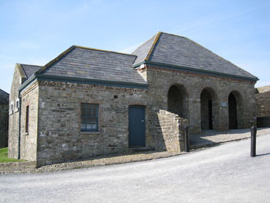
Detached five-bay single-storey former guard house, built c.1820, comprising three-bay block with arcade to northern end, with lower two-bay block to southern end, and having later extension to rear (west). Now in use as ticket office and information point. Hipped slate roofs with red brick dog-tooth over sailing eaves course, aluminium rainwater goods and recent rooflights. Rubble stone walls with projecting plinth wall to front elevation. Square-headed window openings with stone sills, having red brick voussoirs and block-and-start surrounds, three-over-six pane timber sliding sash windows to side (south) and front (east) elevations with timber occasional timber casements to front elevation. Square-headed cell window openings to rear extension with dressed limestone surrounds. Red brick round-headed arches springing from rubble stone piers to arcade. Square-headed door opening to interior of arcaded section, having red brick voussoirs and cut limestone step, with replacement double-leaf glazed timber doors. Camber-headed door opening to front elevation having red brick voussoirs and replacement timber battened door. Cobbled surface to front and side (north). Remains of hexagonal plan rubble stone water tower plinth-height foundations to side (north).
This guard house would have originally been used to detain soldiers when disciplinary regulations were breached. The building underwent many additions and alterations in the past. Previously the northern most arch of the three-bay arcade had been converted for use as a cell, in addition to the double cell extension to the rear. While the fort's ramparts and bastions retain much of their original seventeenth century form and fabric intact, buildings were added within throughout the eighteenth and nineteenth centuries to meet changing military requirement. Together with these structures, this building forms part of an outstanding architectural group which has played a significant role in the country's history.
This does not grant access. Most recorded buildings are privately owned; view them only from public ground unless the owner allows entry.
Places near here
 Bread and MeatRuins · 55 yd
 Earth StoreRuins · 60 yd
 Charles FortBastioned fort · 67 yd
 Ringcurran Burial GdBurial ground · 171 yd
 Graveyard in ArdbrackGraveyard · 885 yd
 Kinsale HarbourBay · 1010 yd
 Dock BeachBeach / strand · 1060 yd
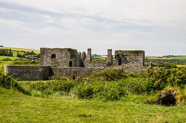 James FortVisitor information · 1135 yd
 World War I MemorialMemorial · 1521 yd
 Eoin O ConnorGallery · 1633 yd
 Kinsale Harbour CruisesHeritage attraction · 1700 yd
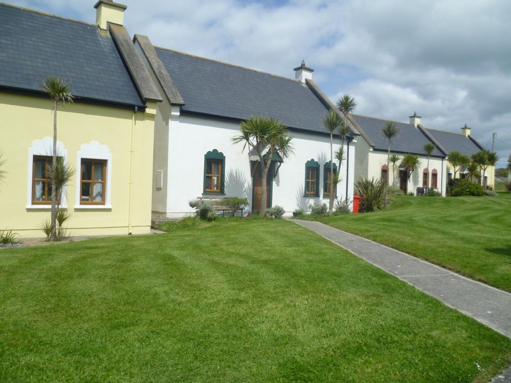 Kinsale Alms HousesVisitor information · 1.1 mi
Other information
Photo: National Inventory of Architectural Heritage · Website use allowed for educational or private purposes with source credit