
What is recorded here
Ringcurran Burial Ground holds worn markers from the 18th century inside a wooden fence just outside the NE wall of Charles Fort. The irregular plot measures 49.5m north-south and 42.1m east-west, small enough to walk across in minutes yet deep enough to contain generations of forgotten breath. People may have laid their dead here while the fort watched, trusting stone and soil to keep what life released.
One of two burial grounds just outside NE wall of Charles Fort (CO125-007---). Irregular area (49.5m N-S; 42.1m E-W) enclosed by wooden fence. Grave markers very worn; some dating to 18th century.
The above description is derived from the published 'Archaeological Inventory of County Cork. Volume 2: East and South Cork' (Dublin: Stationery Office, 1994). In certain instances the entries have been revised and updated in the light of recent research.
Date of upload/revision: 14 January 2009
Images provided by and copyright of Amanda Clarke 2016-2022 https://holywellscorkandkerry.com/
The monument record does not grant public access. Check the route and ask the landowner before entering private land.
- What survives
- Recorded monument
Places near here
 Trinity Well (covered)Holy well · 89 yd
 Cook HouseRuins · 99 yd
 Earth StoreRuins · 116 yd
 Charles FortBastioned fort · 174 yd
 Graveyard in ArdbrackGraveyard · 941 yd
 Kinsale HarbourBay · 1046 yd
 Dock BeachBeach / strand · 1226 yd
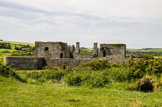 James FortVisitor information · 1305 yd
 World War I MemorialMemorial · 1689 yd
 Eoin O ConnorGallery · 1.0 mi
 Kinsale Harbour CruisesHeritage attraction · 1.1 mi
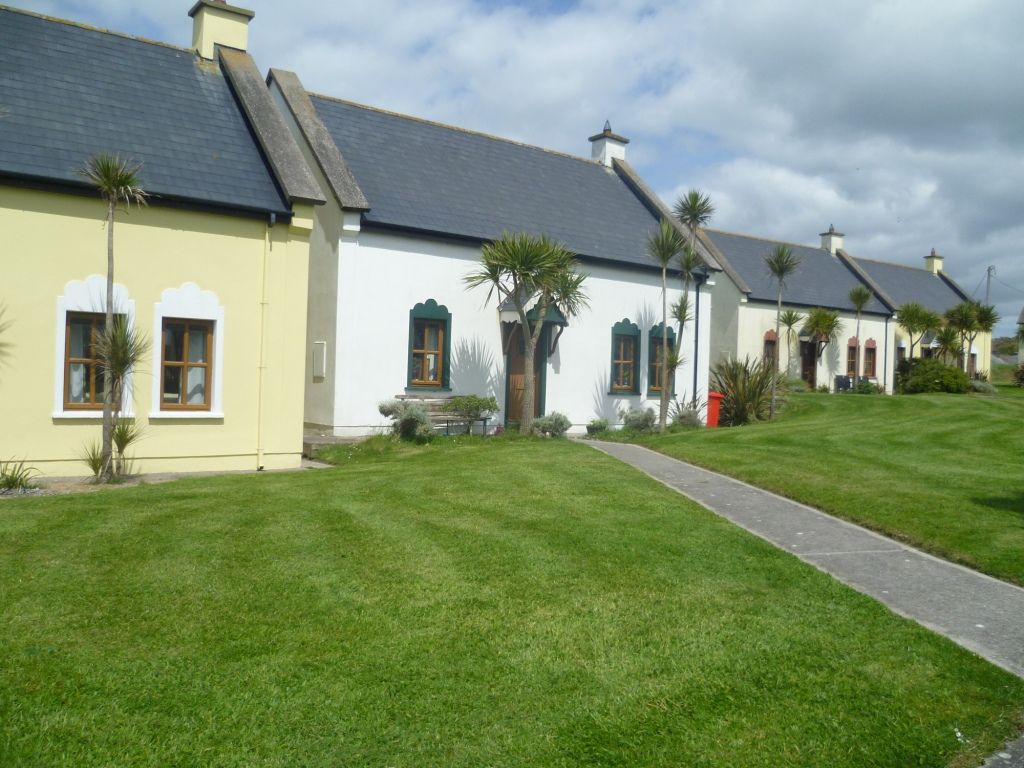 Kinsale Alms HousesVisitor information · 1.2 mi
Other information
Photo: Credit not shown in the picture search · Rights wording not checked; contact us if this picture should be removed