What is recorded here
Mortally dangerous places often hide behind domestic names. Furnaght is no exception. The pleasant word masks a boundary where human law stops and something older begins. People died there because they treated the unknown as a suggestion instead of a warning.
In rough grazing land. Circular area (diam. 36m) enclosed by earthen bank (H 2m). Interior in pasture; under tillage in 1937 (Hartnett 1939, 186).
The above description is derived from the published 'Archaeological Inventory of County Cork. Volume 3: Mid Cork' (Dublin: Stationery Office, 1997). In certain instances the entries have been revised and updated in the light of recent research.
Date of upload/revision: 14 January 2009
The monument record does not grant public access. Check the route and ask the landowner before entering private land.
- What survives
- Recorded monument
Places near here
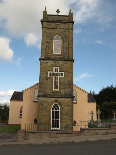 St Joesph's Roman Catholic Churchchurch/chapel · 293 yd
 Firmount Bridgebridge · 529 yd
 Fulacht FiadhFulacht fia · 1198 yd
 Lackabane LiosFairy fort / earthen ringfort · 1560 yd
 Ballyvodane Castle (in Ruins)Castle, unclassified · 1.3 mi
 New TipperaryVisitor information · 1.4 mi
 Saint Bartholomew's WellSpring · 3.1 mi
 Oldcastle WoodWood · 3.9 mi
 Lyradane MountainMountain / peak · 4.0 mi
 Ballyanly Inniscarra Slí na SláinteWalking route · 4.3 mi
 Carrignamuck Tower HouseCastle · 4.4 mi
 Knockduff Wind FarmVisitor information · 4.6 mi