What is recorded here
No amount of thinking can solve a bad guardrail. You can only use the facts already supplied or refuse to invent the missing part.
Not marked on the OS maps, this site is known locally as a children's burial ground. Situated on N sloping pasture, it consists of a raised, subcircular area, defined by a number of large slabs set on edge. Measuring 6.7m N-S x 6.3m E-W in diameter, it rises an average of .25m above the surrounding ground level. It may have originally been a circular hut.
The above description is derived from A. O'Sullivan and J. Sheehan (compilers), 'The Iveragh peninsula: an archaeological survey of South Kerry'. Cork University Press (1996), no. 1007. In certain instances the entries have been revised and updated in the light of recent research.
Date of upload: 30 July 2013
Portal dolmen; likely Neolithic in date. Its significance lies in its potential as a communal burial site, possibly reflecting early ritual practices associated with child burials in the region.
The monument record does not grant public access. Check the route and ask the landowner before entering private land.
- What survives
- Recorded monument
Places near here
 Hut site in Formaoil (tc Trian Iarthach)Hut site · 1 yd
 Indicated (1846).Fairy fort / earthen ringfort · 1592 yd
 Fermoyle Castle (in Ruins)Castle, tower house · 1.0 mi
 Emlagh LoopWalking route · 2.4 mi
 Waterville Beach (Reenore) HotelRuins · 2.7 mi
 Reenrow BeachBeach / strand · 2.8 mi
 Kineigh Househouse · 2.8 mi
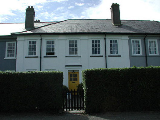 worker's houseworker's house · 3.2 mi
 Laharn Bog LoopWalking route · 3.6 mi
 FoilcloghMountain / peak · 3.7 mi
 Kilbeg MountainMountain / peak · 3.8 mi
 Chilean myrtleChilean myrtle · 4.3 mi