
What is recorded here
Forty-two metres of packed earth and stone still hold their shape on the Longford slope, though no entrance remains visible to mark where people entered. The fort is a smooth oval now, its boundary hidden beneath grass and forgotten purpose. What is clear is that the ground was shaped deliberately, that someone cut and built here, and that the completion has outlasted the memory of the hand that made it.
On a terrace on a NE-facing slope in pasture. A report in 1976 (SMR file) noted that this raised oval area (42m WNW-ESE; 32.5m NNE-SSW) was defined by a low bank of earth and stone and an external fosse. It is enclosed by a broad low scarp (H 0.2-0.7m). The original entrance is not recognisable. Another ringfort (LF027-023----) lies c. 100m to the W.(CUCAP, AOY 62)
Compiled by: Patrick F. O'Donovan
Date of upload: 11 January 2012
The monument record does not grant public access. Check the route and ask the landowner before entering private land.
- What survives
- Recorded monument
Places near here
 FortsFairy fort / earthen ringfort · 148 yd
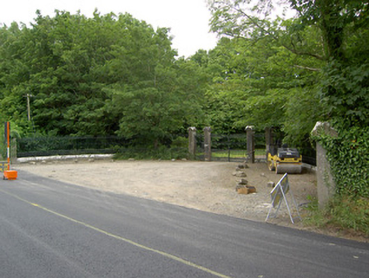 Newcastlegates/railings/walls · 500 yd
 Saint Munis's Church (Forgney)church/chapel · 589 yd
 Grave YardGraveyard · 760 yd
 Craft WorkshopHeritage attraction · 1456 yd
 Guest ServicesVisitor information · 1474 yd
 Goldsmith Birthplace, PallasVisitor information · 1.5 mi
 Target WoodWood · 1.6 mi
 Newcastle WoodsForest · 1.8 mi
 Sessile OakSessile Oak · 1.9 mi
 Ballymulvey Ho.Castle, unclassified · 2.3 mi
 Noughaval CemeteryArchaeological place · 3.7 mi
Other information
Photo: Credit not shown in the picture search · Rights wording not checked; contact us if this picture should be removed