What is recorded here
Situated on the S bank of the River Suir. There is a fragment of an octagonal font with a circular basin (int. diam. 0.3m) in the graveyard (WA003-001002-) of Dysert church (WA003-001001). (Power 1896b, 6-8)
Power, Rev. P. (1896b) The ancient ruined churches of Waterford. WAJ. 2, 2-15, 195-298.
Compiled by: Michael Moore
Date of upload: 06 March 2013
The octagonal font fragment in the graveyard of Dysert Church, Churchtown, dates to the early medieval period, likely 10th to 12th century, and is associated with the ecclesiastical site of Dysert O'Dea, a monastic foundation traditionally linked to Saint Gobnait. Its survival reflects the religious significance of the site in early Christian Ireland.
The monument record does not grant public access. Check the route and ask the landowner before entering private land.
- What survives
- Recorded monument
Places near here
 Site of ChurchChurch · 1 yd
 Grave YardGraveyard · 22 yd
 Maurice DavinMemorial · 78 yd
 Dysart HouseOfficially recorded historic building · 573 yd
 Ballydine Ho.Castle, unclassified · 708 yd
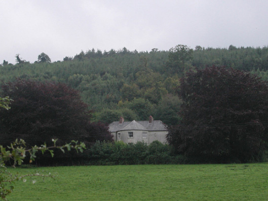 Churchtown Househouse · 1072 yd
 Churchtown WoodForest · 1216 yd
 Castle (in ruins)Castle, tower house · 1555 yd
 Coolnamuck Wood WestForest · 1.5 mi
 CarrigcoumMountain / peak · 1.9 mi
 Thomas KielyMemorial · 2.2 mi
 CarrigeenseebohillaMountain / peak · 3.4 mi