What is recorded here
Grave Yard in County Meath has buried Clonalvey people since 1743, its rectangular masonry walls holding headstones that stretch to the present day. The Fourknocks ridge rises north of this west-facing col like a dark shoulder watching the dead, while a slight knoll stands south as if balancing the ridge's weight. The parish church sits inside this quiet box, surrounded by generations marked in stone along the NE-SW road.
Located on a W-facing col with Fourknocks ridge rising over it c. 0.7km to the N and a slight knoll c. 300m to the S. The parish church of Clonalvey (ME033-026----) is within a rectangular graveyard (dims c. 55m NE-SW: c. 45m NW-SE) defined by masonry walls with a NE-SW road outside it to the SE. The graveyard has headstones dating from 1743 to the present.
Compiled by: Michael Moore
Date of upload: 9 February, 2015
The monument record does not grant public access. Check the route and ask the landowner before entering private land.
- What survives
- Recorded monument
Places near here
 Church (in Ruins)Church · 8 yd
 The story of the milk standMemorial · 187 yd
 Enclosure in Grange (duleek Upper By.)Enclosure · 802 yd
 FourknocksPassage tomb · 1009 yd
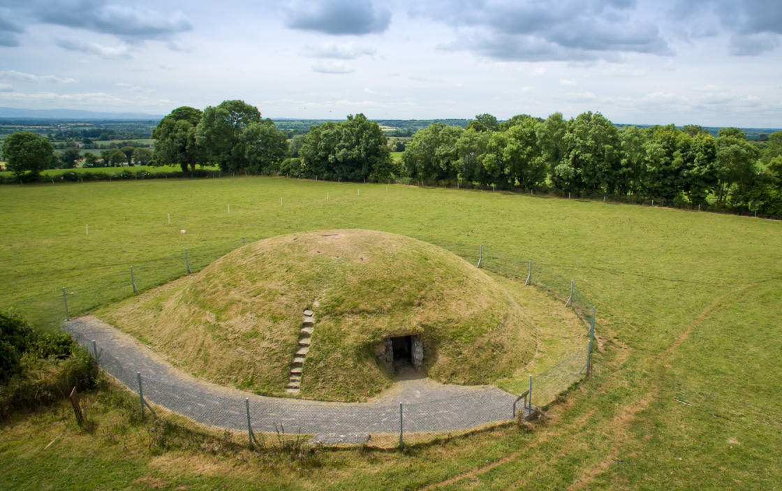 Four Knocks TombArchaeological place · 1185 yd
 QuarryQuarry · 1465 yd
 Naul Park HouseCastle, unclassified · 1.8 mi
 Westown HouseCastle, tower house · 1.8 mi
 Seamus Ennis Cultural CentreMemorial · 2.0 mi
 Naul HillMountain / peak · 2.1 mi
 Tullog WoodForest · 2.1 mi
 St. John's WellSpring · 3.0 mi