What is recorded here
In pasture, on isthmus to S of Baltimore Harbour. Support niches (H 0.16m; Wth 0.12m; D 0.10m) for press beams occur along vertical rock-face (overgrown) on NW side of field. Went (1946, 137) records two dozen or more niches. Only fourteen are now visible cut into rock at regular intervals c. 0.5m apart and 1.2m above ground level. Little remains of the Cornish premises at Fishery Point erected in late 19th century in an attempt to revive the pilchard fishing industry.
The above description is derived from the published 'Archaeological Inventory of County Cork. Volume 1: West Cork' (Dublin: Stationery Office, 1992). In certain instances the entries have been revised and updated in the light of recent research.
Date of upload/revision: 14 January 2009
The monument record does not grant public access. Check the route and ask the landowner before entering private land.
- What survives
- Recorded monument
Places near here
 RoadRoad, road/trackway · 107 yd
 Quay in BaltimoreQuay · 128 yd
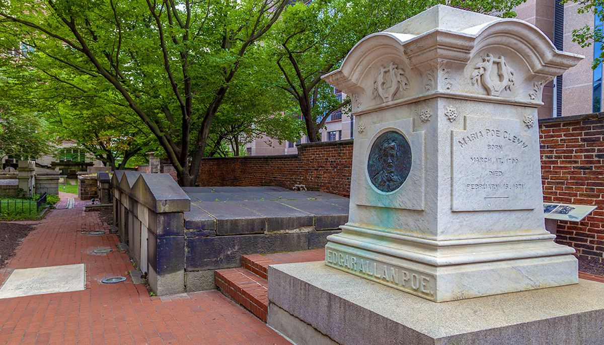 Burial ground in BaltimoreBurial ground · 241 yd
 boathouseboathouse · 424 yd
 Wave Chieftain Whale WatchingHeritage attraction · 749 yd
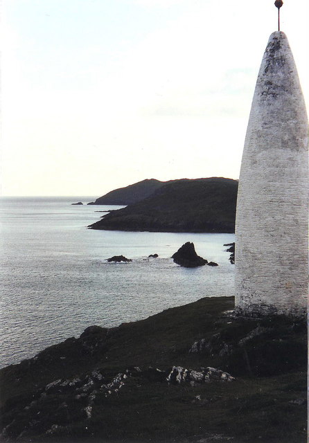 The Beaconbeacon · 796 yd
 Beacon PointViewpoint · 803 yd
 Dún na Station castleCastle · 848 yd
 Bawn in BaltimoreBawn · 855 yd
 Spanish IslandIsland · 1.1 mi
 Jeremiah's IslandIslet · 1.3 mi
 Cow StrandBeach / strand · 1.8 mi