What is recorded here
This midden, at the SW end of Fínis, was brought to our attention by Erin Gibbons in April 2014. It was exposed as a result of the storms in January 2014. Some burnt stone, a pit, a compact stone layer and charcoal within and below the midden were also noted. On inspection a dark horizon of sand (exposed L 8m; T 0.1-0.2m) was visible at depth of between 0.4m and 1m below the sod cover. Shells, mainly periwinkles, were visible but they were not densely concentrated. The sod cover had collapsed in places. The other features noted above were not visible.
Compiled by: Olive Alcock
Date of upload: 20 April 2014
The monument record does not grant public access. Check the route and ask the landowner before entering private land.
- What survives
- Recorded monument
Places near here
 Holy well in FínisHoly well · 956 yd
 Holy well in MaínisHoly well · 1606 yd
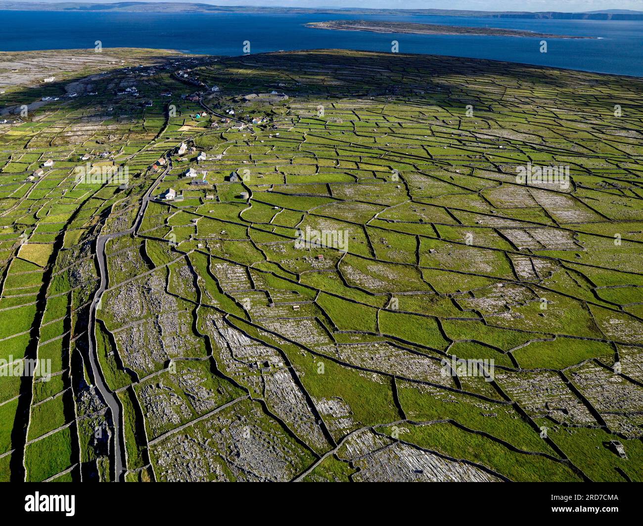 Inis MúscraíIslet · 1.1 mi
 Oileán LachanIslet · 1.3 mi
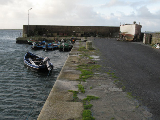 Cé Charna [Carna Quay]quay/wharf · 1.5 mi
 Cora na hAirde MóireHeadland · 2.0 mi
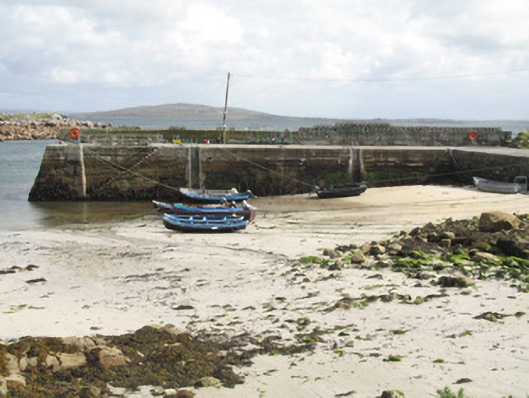 Cé an Aird Mhóir [Ardmore Quay]quay/wharf · 2.0 mi
 Ard Castle (in ruins)Castle, tower house · 2.9 mi
 Cora na gCúgHeadland · 4.0 mi
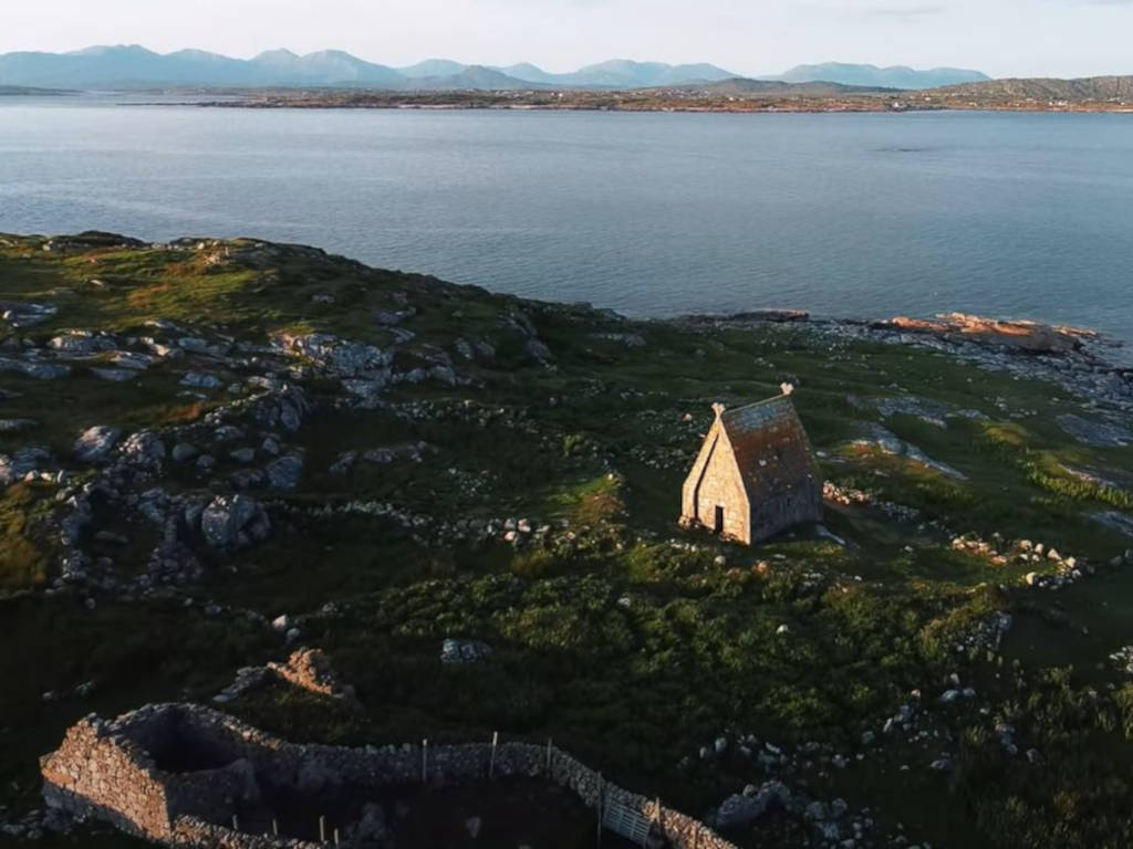 St. MacDara's Island Early Medieval Ecclesiastical SiteHeritage attraction · 4.1 mi
 Knockboy ForestryForest · 4.1 mi
 Trá MhaíroisBeach / strand · 4.3 mi