
What is recorded here
Below HWM on sandy E shore of the island. Known locally as Tobar Cholmcille and said to be 'like a bowl' with a 'clochar' (a cairn or leacht) around it and a path leading to it (info. T. Robinson). This holy well consists of a roughly oval-shaped depression (0.6m N-S; 0.5m E-W; D 0.25m) in the granite bedrock, which is visible at low tide when it is filled with water. No trace of the 'clochar' or pathway leading to it were evident when visited.
The above description is derived from the published 'Archaeological Inventory of County Galway Vol. I - West Galway'. Compiled by Paul Gosling (Dublin: Stationery Office, 1993). In certain instances the entries have been revised and updated in the light of recent research.
Revised by: Olive Alcock
Date of upload: 24 April 2014
Linked to St. Columba (Colmcille), the well is associated with early Christian pilgrimage and is traditionally believed to have healing properties. The surrounding cairn or stone circle suggests a pre-Christian ritual site that may have been later Christianized.
The monument record does not grant public access. Check the route and ask the landowner before entering private land.
- What survives
- Recorded monument
Places near here
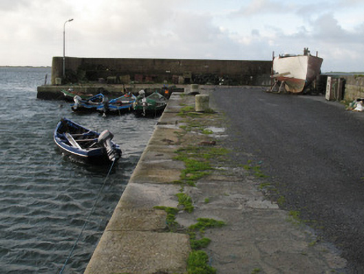 Cé Charna [Carna Quay]quay/wharf · 1.3 mi
 Well of the Seven DaughtersHoly well · 1.3 mi
 Bior BeagIslet · 1.3 mi
 Holy well in MaínisHoly well · 1.4 mi
 Roisín an ChalaidhIslet · 1.5 mi
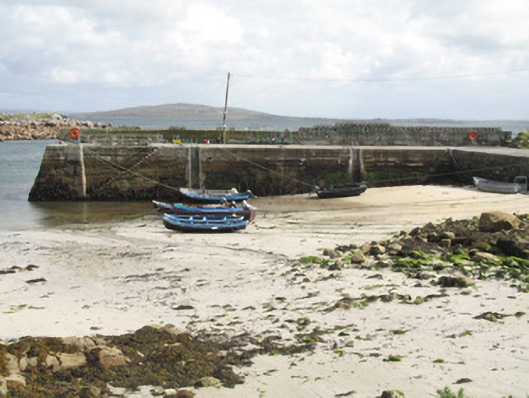 Cé an Aird Mhóir [Ardmore Quay]quay/wharf · 1.6 mi
 Cora na hAirde MóireHeadland · 1.6 mi
 Ard Castle (in ruins)Castle, tower house · 3.0 mi
 Cora na gCúgHeadland · 3.5 mi
 Knockboy ForestryForest · 3.8 mi
 Trá MhaíroisBeach / strand · 4.3 mi
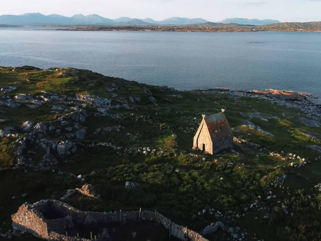 St. MacDara's Island Early Medieval Ecclesiastical SiteHeritage attraction · 4.4 mi
Other information
Photo: Credit not shown in the picture search · Rights wording not checked; contact us if this picture should be removed