What is recorded here
Above the shoreline in a flat sand-covered area on E side of the island. When initially visited in August 1984 a poorly preserved rectangular structure (L 12m N-S, Wth 8m), defined by a scatter of loose boulders, was visible emerging from the exposed face of a sand-dune. Within the dune were the remains of occupation material indicated by bands of black material. The structure was located within the NE portion of a larger rectangular enclosure also defined by a scatter of loose boulders. It was probably the remains of a house and field. On a revisit in April 2014 no visible surface trace of the house was visible as the area was covered with sand and boulders.
The above description is derived from the published 'Archaeological Inventory of County Galway Vol. I - West Galway'. Compiled by Paul Gosling (Dublin: Stationery Office, 1993). In certain instances the entries have been revised and updated in the light of recent research.
Revised by: Olive Alcock
Date of upload: 22 April 2014
The monument record does not grant public access. Check the route and ask the landowner before entering private land.
- What survives
- Recorded monument
Places near here
 Holy well in FínisHoly well · 130 yd
 Well of the Seven DaughtersHoly well · 1.3 mi
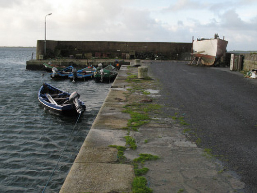 Cé Charna [Carna Quay]quay/wharf · 1.3 mi
 Bior BeagIslet · 1.3 mi
 Roisín an ChalaidhIslet · 1.5 mi
 Cora na hAirde MóireHeadland · 1.6 mi
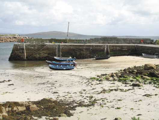 Cé an Aird Mhóir [Ardmore Quay]quay/wharf · 1.6 mi
 Ard Castle (in ruins)Castle, tower house · 2.9 mi
 Cora na gCúgHeadland · 3.6 mi
 Knockboy ForestryForest · 3.9 mi
 Trá MhaíroisBeach / strand · 4.3 mi
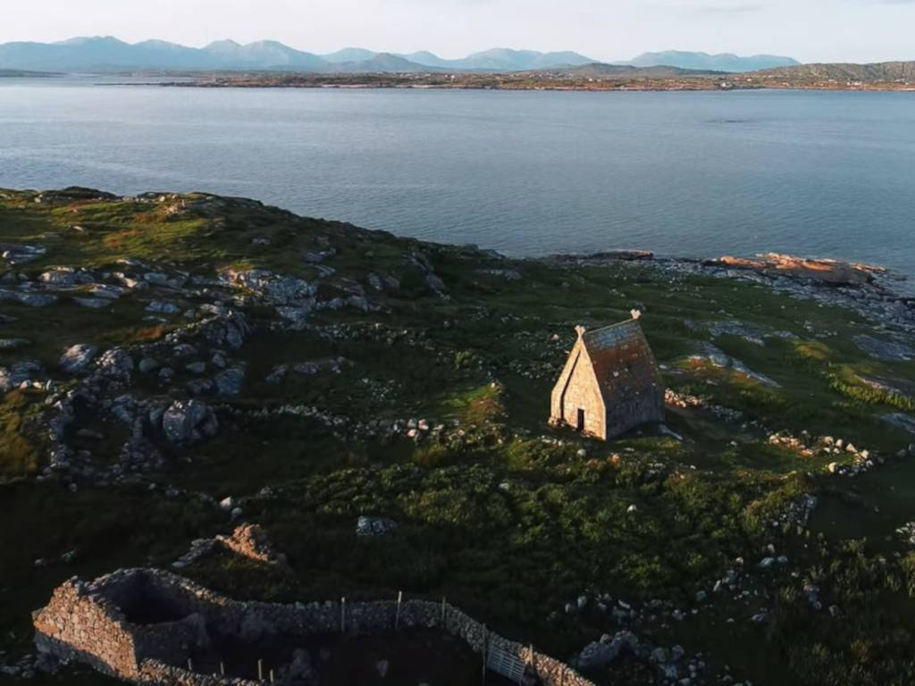 St. MacDara's Island Early Medieval Ecclesiastical SiteHeritage attraction · 4.4 mi