What is recorded here
Some 150m N of a similar house (GA077-010----). When visited in 1984 this house site (L 6.5m, Wth 4m) was defined by boulders on the surface of the sand. An extensive scatter of shells lay to the NW and S, while the remains of a ruined house, outhouses and associated stone wall were located to the E and N. On a revisit in April 2014 intermittent earthfast and loose walling (Wth 0.6m; H 0.1-0.7m) was still evident. A gap (Wth 1.2m) in the N wall marked the doorway. A midden (GA077-038----) lies 11.5m to the S. (Robinson 1985, 49-50)
The above description is derived from the published 'Archaeological Inventory of County Galway Vol. I - West Galway'. Compiled by Paul Gosling (Dublin: Stationery Office, 1993). In certain instances the entries have been revised and updated in the light of recent research.
Revised by: Olive Alcock
Date of upload: 30 April 2014
The monument record does not grant public access. Check the route and ask the landowner before entering private land.
- What survives
- Recorded monument
Places near here
 Holy well in FínisHoly well · 648 yd
 Holy well in MaínisHoly well · 1.0 mi
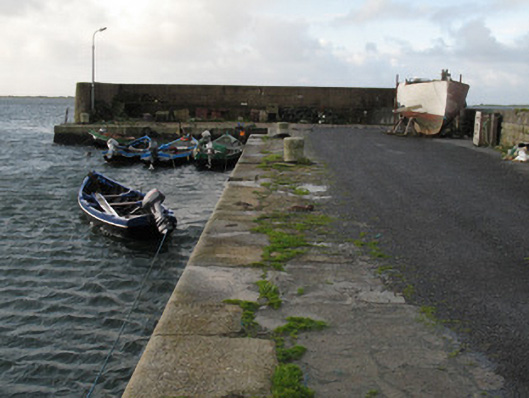 Cé Charna [Carna Quay]quay/wharf · 1.3 mi
 Inis MúscraíIslet · 1.3 mi
 Roisín an ChalaidhIslet · 1.4 mi
 Cora na hAirde MóireHeadland · 1.9 mi
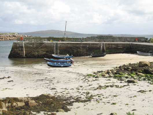 Cé an Aird Mhóir [Ardmore Quay]quay/wharf · 1.9 mi
 Ard Castle (in ruins)Castle, tower house · 2.8 mi
 Cora na gCúgHeadland · 3.9 mi
 Knockboy ForestryForest · 3.9 mi
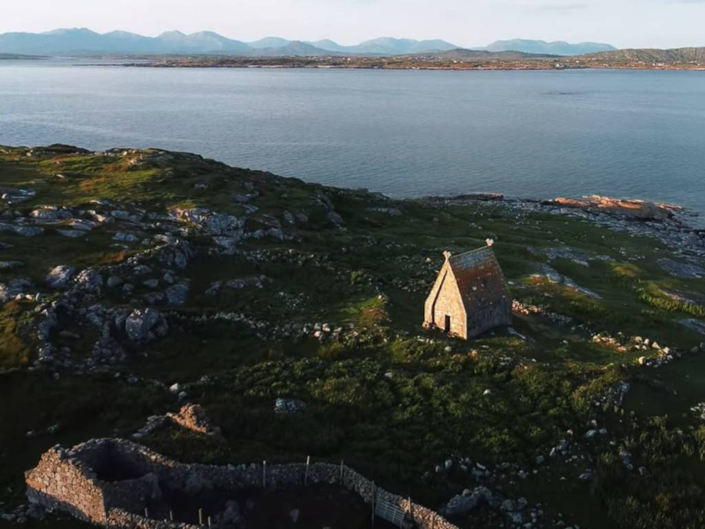 St. MacDara's Island Early Medieval Ecclesiastical SiteHeritage attraction · 4.1 mi
 Trá MhaíroisBeach / strand · 4.2 mi