What is recorded here
On a flat stretch of sand 200m E of the shore line at S end of island. Poorly preserved rectangular area (L 6m, Wth 3.6m) defined by drystone walling, with a doorway in N wall. Traces of plaster survive on the inner face of S wall. A series of stone walls and earthen banks extend to W and N of the house. A similar house (GA077-011----) lies c. 150m to N. (Robinson 1985, 49-50)
The above description is derived from the published 'Archaeological Inventory of County Galway Vol. I - West Galway'. Compiled by Paul Gosling (Dublin: Stationery Office, 1993).
Date of upload: 05 August 2010
The monument record does not grant public access. Check the route and ask the landowner before entering private land.
- What survives
- Recorded monument
Places near here
 Holy well in FínisHoly well · 738 yd
 Holy well in MaínisHoly well · 1729 yd
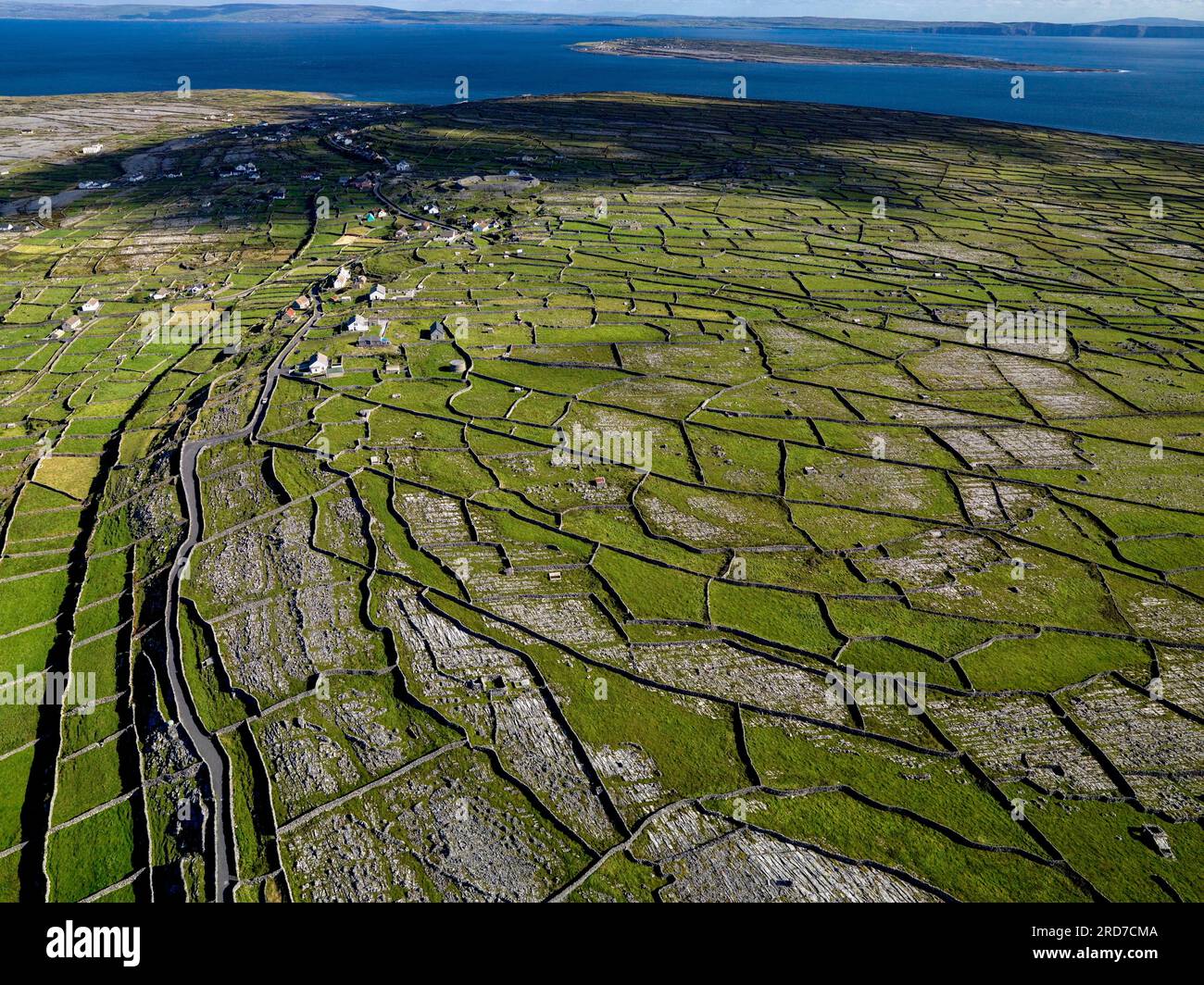 Inis MúscraíIslet · 1.2 mi
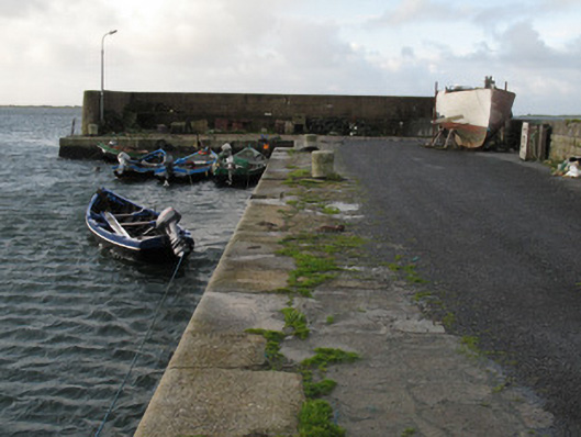 Cé Charna [Carna Quay]quay/wharf · 1.3 mi
 Oileán LachanIslet · 1.4 mi
 Cora na hAirde MóireHeadland · 1.9 mi
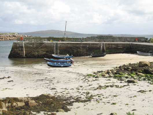 Cé an Aird Mhóir [Ardmore Quay]quay/wharf · 2.0 mi
 Ard Castle (in ruins)Castle, tower house · 2.8 mi
 Cora na gCúgHeadland · 3.9 mi
 Knockboy ForestryForest · 4.0 mi
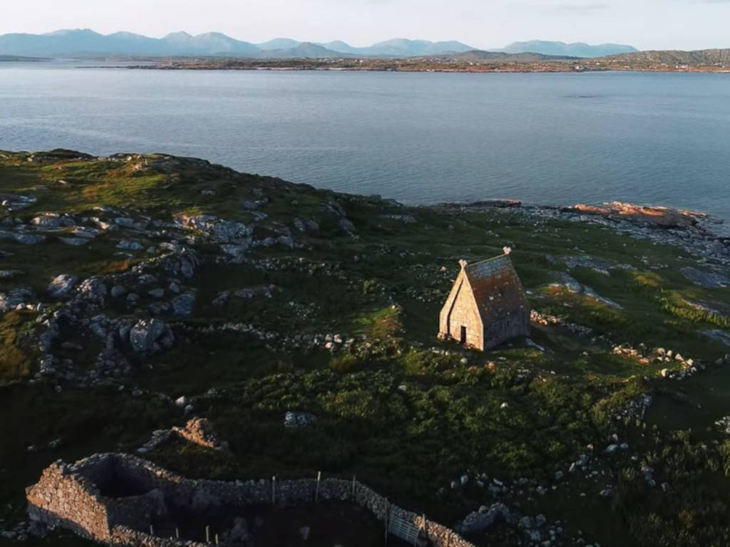 St. MacDara's Island Early Medieval Ecclesiastical SiteHeritage attraction · 4.1 mi
 Trá MhaíroisBeach / strand · 4.2 mi