What is recorded here
Fieldtown Castle stood on a low ridge in County Westmeath, visible as ruins on the 1837 map but gone from the surface by 1980. Its stones likely reappeared in the nearby farmyard and Fieldtown House, turning a lost fortress into ordinary domestic walls. The castle did not disappear so much as it changed shape, hiding inside the living land.
Situated on a low ridge, in pasture, with extensive views in all directions. Depicted on the 1837 ed. OS 6-inch map as the outline of a rectangular structure annotated ‘Fieldtown Castle in ruins’.
Levelled castle described in 1980 as no surface remains visible. The castle site is in the corner of a field and it is possible that the footings of the NE and NW walls of the castle (as depicted on the 1913 ed. OS 25-inch map) are incorporated into the modern field walls, although there is no cut stone visible. There is a slight depression in this corner of the field which may indicate the location of the former castle. It is probable that the stone from the castle was used to build the farmyard and Fieldtown House, which lies c. 15m to NE. There is no medieval stone work visible in any of the buildings. No castle is depicted in this townland of on the 17th century Down Survey map of Churchtown and Conry parish (NLI, MS 723-4). In 1641 the lands of Brottonstown Little belonged to Alexander Hope who is listed as an 'Irish papist' (ibid.).
Compiled by: Alison McQueen, Vera Rahilly and Caimin O’Brien
Date of upload: 11 February 2019
The monument record does not grant public access. Check the route and ask the landowner before entering private land.
- What survives
- Recorded monument
Places near here
 Fieldtown CastleCastle · 2 yd
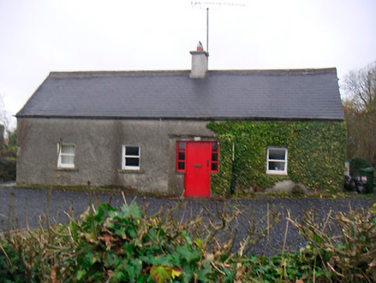 Bushmills Cottagehouse · 672 yd
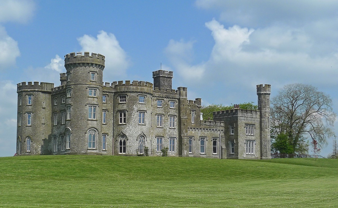 CastleHouse, fortified house · 1030 yd
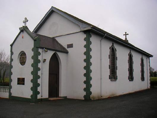 Catholic Church of the Little Flower and Our Lady of Good Counselchurch/chapel · 1122 yd
 Cross in Tuitestown (moyashel & Magheradernon By.)Cross · 1.1 mi
 Settlement desertedSettlement deserted, medieval · 1.1 mi
 WestmeathVisitor information · 1.3 mi
 Ancient Ring FortWood · 1.5 mi
 Hill of UisneachMountain / peak · 3.8 mi
 Carrickphilbin IslandIslet · 4.6 mi
 European ashEuropean ash · 4.7 mi
 Srudarra IslandIslet · 4.9 mi