What is recorded here
Blanket peat, large sections of which have been cut-over, extends over the W slopes of Slievagh towards a level strip of land bordering the cliffs N of Cooncrome Harbour. Here, between Coosfadda inlet and the stream which runs into the sea at Coosatooig, is a large pre-bog field-system consisting of three main walls which occur over an area measuring approximately 1km N-S x 600m E-W. Lengths of up to 400m of these walls are exposed, and in the N and E sections of the complex further stretches, traced by probing, are overlain by peat. The walls are generally composed of intermittent upright slabs and boulders, with small stone infill between; they average .5m high and .8m wide.
The N wall commences at Coosfadda and runs up the slopes of Slievagh to SE for 180m before gradually turning to S for a further 600m. Here, its course is somewhat irregular and is largely overlain by peat. The second principal wall commences at Coosnamuck inlet, 240m SW of Coosfadda, and runs E for 180m before turning S for 220m. Here, it turns sharply to E and runs 200m to join the first wall at right angles. A further curving stretch of wall at S, largely peat-covered, forms a D-shaped enclosure (KE069-006001-), 125m N-S x 100m E-W, within which is a subcircular hut (KE069-006003-) and a small enclosure (KE069-006002-). The hut measures 9.1m in internal diameter; its wall consists of uprights, up to .45m high, and some drystone work is preserved. The enclosure occurs 14m to E and abuts the N-S wall; it measures 4m x 2.5m internally, and a gap at NW may reprasent the entrance. Located between the hut and the enclosure is a row of three large, upright boulders.
The third main wall commences close to the cliffs, midway between Coosnamuck and Coosatooig. It runs to E for 120m, where it turns S for 400m and terminates at the stream which forms the S limit of the complex. It is overlain in part at S by the wall of a modern field system, and is abutted at W by a number of short stretches of pre-bog walling. Located close to the latter is Cnocán na hAitinne, a natural mound on the S side of which is a Man-made underground passage (KE069-008001-).
Located 120m SW of Cnocán na hAitinne are the poorly preserved remains of a rectangular hut which measures 3.15m x 2.6m internally; no entrance is apparent. Two further rectangular huts are located together on the banks of the stream to S, close to the end of the W wall. One measures 3.7m E-W and 2.6m N-S externally, while only the S side-wall and the W end-wall of the second hut, measuring 2.25m and 1.9m in length respectively, are preserved.
Old field walls KE069-007001-, probably contemporary, occur in the immediate vicinity.
The above description is derived from A. O'Sullivan and J. Sheehan (compilers), 'The Iveragh peninsula: an archaeological survey of South Kerry'. Cork University Press (1996), no. 55; 1339. In certain instances the entries have been revised and updated in the light of recent research.
Date of upload: 1 August 2013
The monument record does not grant public access. Check the route and ask the landowner before entering private land.
- What survives
- Recorded monument
Places near here
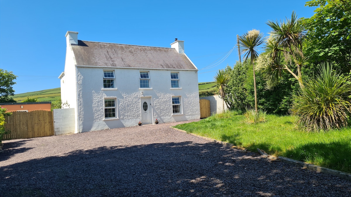 Enclosure in Kimego WestEnclosure · 154 yd
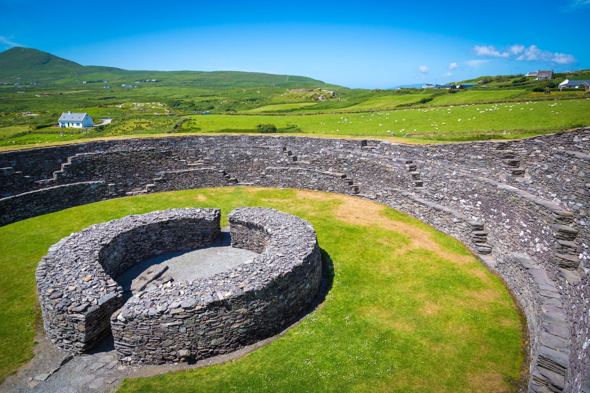 Man-made underground passage in Kimego WestMan-made underground passage · 250 yd
 SlievaghMountain / peak · 1588 yd
 KilnKiln, corn-drying · 1.1 mi
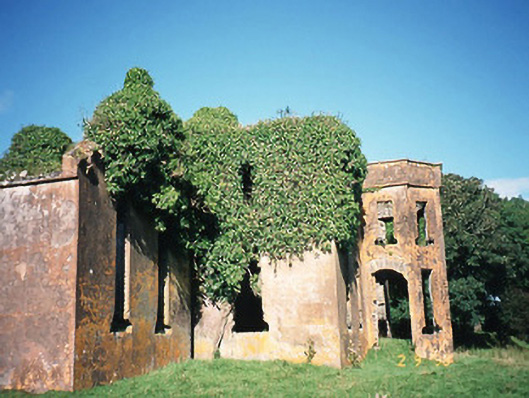 Castlequincountry house · 1.7 mi
 Ballycarbery CastleRuins · 1.9 mi
 Ballycarbery Castle (in ruins)Castle, hall-house · 1.9 mi
 CastleCastle, unclassified · 1.9 mi
 Foughil IslandIslet · 2.2 mi
 Killelan MountainMountain / peak · 2.3 mi
 White Strand BeachBeach / strand · 2.4 mi
 Beginish IslandIsland · 3.2 mi