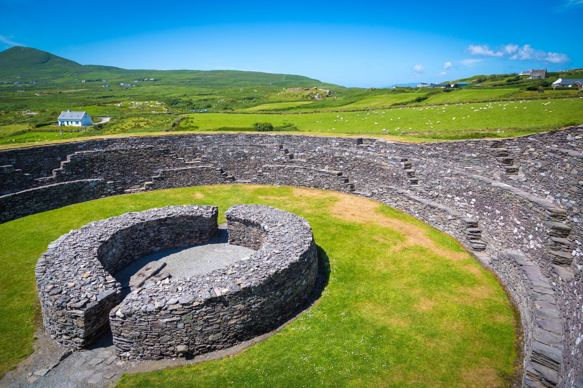
What is recorded here
Kerry farmland still covers a buried chamber beneath Cnocán na h-Aitinne, where two short stone passages tilt through damp earth near Cooncrome Harbour. People removed some of its building stone in the 1950s, yet a narrow gap and broken debris preserve the shape of a place never entered lightly. It may have been a hidden room for keeping tools, hiding goods or speaking past the reach of ordinary fields. The mound stands slightly proud in boggy pasture, waiting to give back what rain and forgetting have taken from its chambers.
This poorly preserved Man-made underground passage, not marked on the OS maps, is located at the base of a natural mound known locally as Cnocán na h-Aitinne. It is situated in gently sloping boggy pasture, between the lower SW slopes of Sliveagh and the cliffs N of Cooncrome Harbour. The mound, of irregular plan, measures 19m N-S x 17m E-W and is composed of peat-covered outcrop which rises to a height of 2m above surrounding ground level. Three pre-bog walls radiate out from the mound at NW, NE, and SE, and form part of a larger field-system (KE069-006----). The Man-made underground passage is located at the base of the SE side off the mound. In the 1950s much of the stone used in its construction was removed and used for building material (local information). Two short passages are identifiable. The first is .8m long and is capped by two large lintels resting on uprights slabs; it is .95m wide and is aligned E-W. A small surface aperture allows viewing of the second section, 1.3m to W. It is c. 1.5m long, c. 1m wide and is aligned WSW-ENE. It is filled with stone debris to within .4m of its lintels. An elongated depression extends for 6.5m to NNE from it, and may represent a destroyed length of passage.
A grooved whetstone, discovered in this Man-made underground passage, is now in NMI (1958:129)
The above description is derived from A. O'Sullivan and J. Sheehan (compilers), 'The Iveragh peninsula: an archaeological survey of South Kerry'. Cork University Press (1996), no. 890. In certain instances the entries have been revised and updated in the light of recent research.
Date of upload: 29 July 2013
The monument record does not grant public access. Check the route and ask the landowner before entering private land.
- What survives
- Recorded monument
Places near here
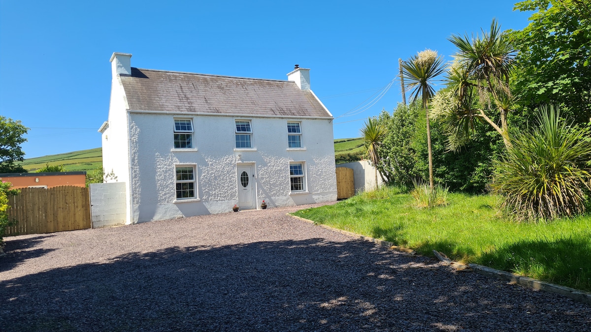 Enclosure in Kimego WestEnclosure · 396 yd
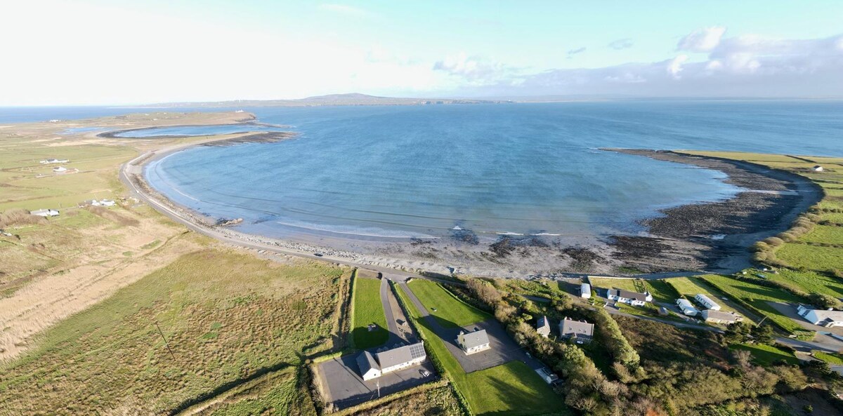 Promontory fortPromontory fort, coastal · 1124 yd
 KilnKiln, corn-drying · 1.0 mi
 SlievaghMountain / peak · 1.0 mi
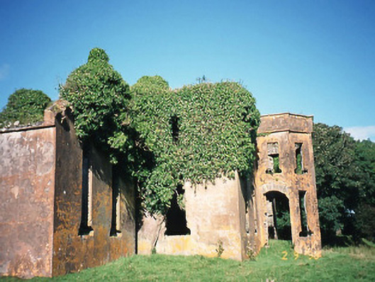 Castlequincountry house · 1.6 mi
 Ballycarbery CastleRuins · 1.8 mi
 Ballycarbery Castle (in ruins)Castle, hall-house · 1.8 mi
 CastleCastle, unclassified · 1.8 mi
 Foughil IslandIslet · 2.1 mi
 Killelan MountainMountain / peak · 2.2 mi
 White Strand BeachBeach / strand · 2.3 mi
 Beginish IslandIsland · 3.1 mi
Other information
Photo: Credit not shown in the picture search · Rights wording not checked; contact us if this picture should be removed