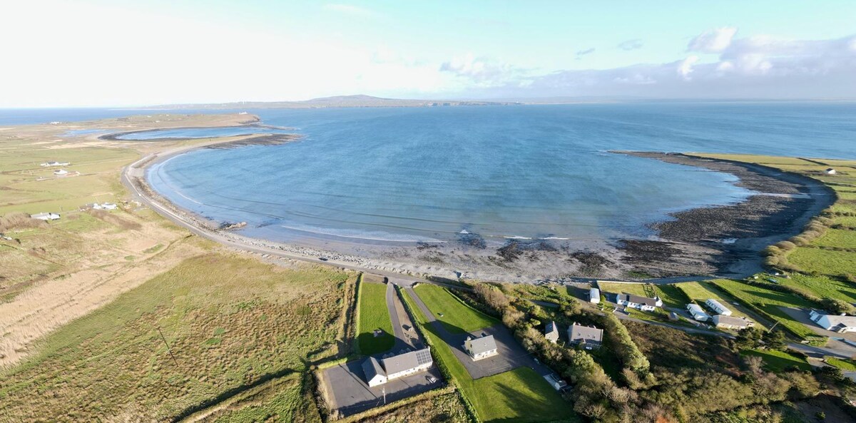
What is recorded here
Dooneaner, a 74m coastal promontory in County Kerry, forces every visitor through a 4.5m bottleneck before opening into a wedge-shaped chamber guarded by rock-cut fosses and stony banks. That sudden change from cramped passage to broad space would have felt like being swallowed, then released into a room built by the sea itself. The causeway still crosses the defences with two upright slabs facing each other like a doorway waiting for someone to step through.
Dooneaner/An Dún Aonair (?): This bottle-neck promontory projects N from steep cliffs into Cooncrome Harbour. It is 74m long, and for its initial 14m from the landward end it is only 4.5m wide. Beyond this, however, it increases to an average width of 10m for a further 27m. At this point two banks and fosses, traversed by a causeway, run N-S across the promontory. From here the interior assumes an approximately wedge shape, 33m N-S x 23m E-W, and slopes down strongly to NW.
A low bank and an internal fosse traverse the narrow, landward end of the promontory. These features appear to be relatively modern. Occurring 15.5m further N is a deep, rock-cut, steep-sided fosse, best preserved on the E side of the causeway. It falls to a depth of 2.3m, to a 1.45m wide flat-bottomed base. The fosse on the W side of the causeway is preceded by a short bank. The inner face of the fosse rises 2.3m to the crest of an impressive stony bank, 5.5m in basal width. It falls .6m to the base of the second fosse, which measures 1.4m wide. The inner bank is widely splayed, having a maximum basal width of 5.6m and an average height of 2m; it has slight traces of stone facing at E.
The banks and fosses are traversed by a 17m long causeway, which averages 1m wide. Intermittent drystone facing outlines its sides and two portal-like slabs, set 1.1m apart, define its inner end. A large prostrate slab, directly at N, may have acted as the lintel of this entrance. Westropp recorded 'piers of coursed masonry' located on the N side of the two upright slabs (1912, 309); these are no longer apparent. Chatterton recorded that upright stones originally lined the entrance causeway (1839, 284).
A 1.2m ridge of outcrop forms a protective element on the E side of the interior of the promontory fort, and a number of slabs set upright and on edge are located on its perimeter at N and W.
The above description is derived from A. O'Sullivan and J. Sheehan (compilers), 'The Iveragh peninsula: an archaeological survey of South Kerry'. Cork University Press (1996), no. 447. In certain instances the entries have been revised and updated in the light of recent research.
Date of upload: 28 July 2013
The monument record does not grant public access. Check the route and ask the landowner before entering private land.
- What survives
- Recorded monument
Places near here
 KilnKiln, corn-drying · 883 yd
 Cathar-na-CathFairy fort / stone ringfort · 1024 yd
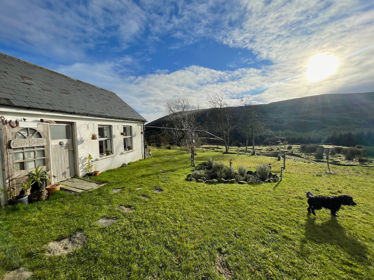 Hut site in Laharan NorthHut site · 1091 yd
 Ballycarbery CastleRuins · 1.3 mi
 Ballycarbery Castle (in ruins)Castle, hall-house · 1.3 mi
 CastleCastle, unclassified · 1.3 mi
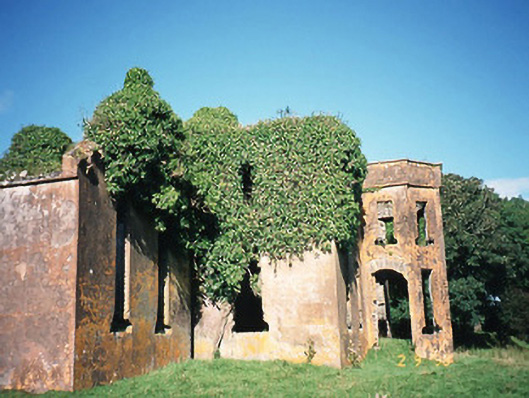 Castlequincountry house · 1.5 mi
 White Strand BeachBeach / strand · 1.6 mi
 Killelan MountainMountain / peak · 1.6 mi
 SlievaghMountain / peak · 1.7 mi
 Foughil IslandIslet · 1.7 mi
 Beginish IslandIsland · 2.4 mi
Other information
Photo: Credit not shown in the picture search · Rights wording not checked; contact us if this picture should be removed