What is recorded here
Visible on an aerial photo (GSI N415-6) as a group of some five possible short, linear earthworks, with a small, possible rectangular enclosure in their midst. On a fairly gentle, NE-slope, in pasture. In 1986, the whole surface of the field was noted to be uneven, with no recognisable pattern or features (SMR file). Some land improvement has occurred since, and the ground surface has been levelled off. A disused land-drain (Wth 1m; D 0.3-0.6m) dog-legs NW-SE-ENE through the area, and spoil from a drained stream is piled along the E-limits.
Compiled by: Gearóid Conroy
Date of upload: 20 October 2011
The monument record does not grant public access. Check the route and ask the landowner before entering private land.
- What survives
- Recorded monument
Places near here
 ToberchochaHoly well · 1303 yd
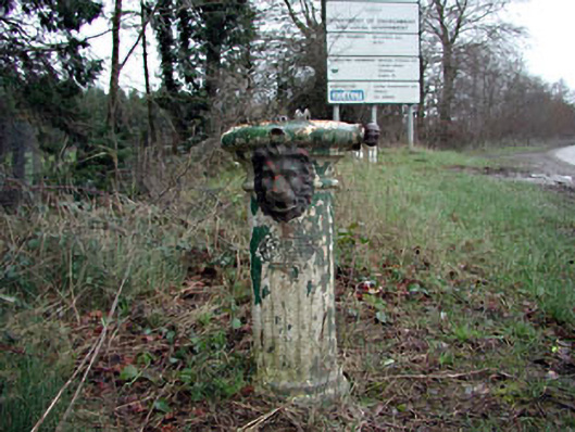 water pumpwater pump · 1307 yd
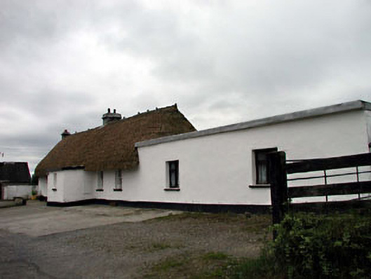 farm housefarm house · 1747 yd
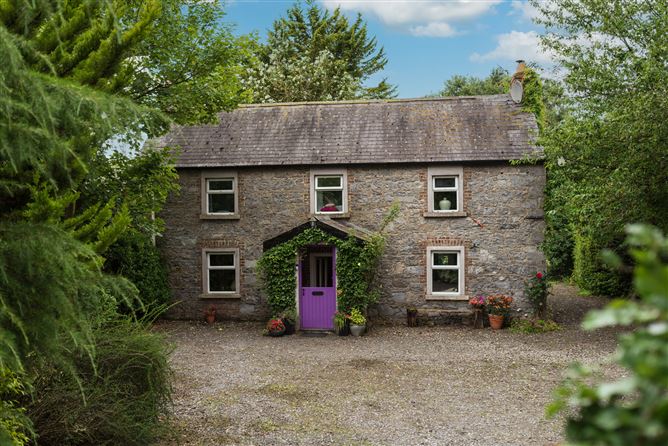 Enclosure in Monasterevin BogEnclosure · 1.0 mi
 Bawn in Lackagh BegBawn · 1.5 mi
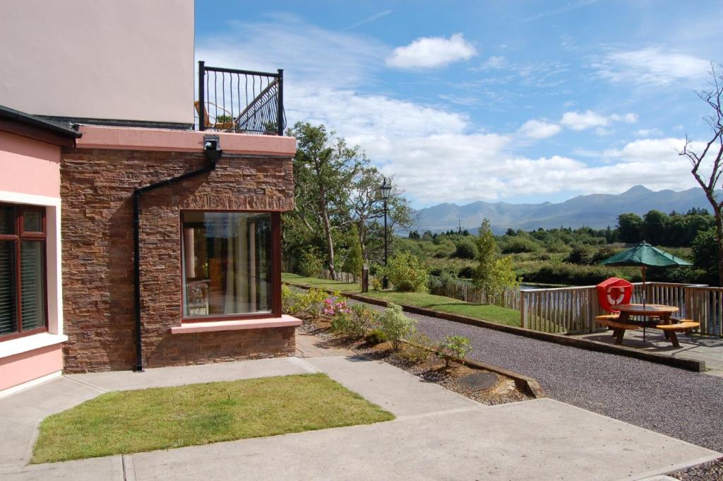 Lodge GroveWood · 1.7 mi
 European YewEuropean Yew · 2.1 mi
 Offaly CastleCastle, tower house · 3.6 mi
 Bithia Mary CrokerMemorial · 4.7 mi
 Horse MuseumMuseum · 5.0 mi
 Bog Lake WalkWalking route · 6.9 mi
 Derryounce Walk (Yellow Loop)Walking route · 7.0 mi