What is recorded here
In rough mountain pasture on SE-facing slope. Single line of stones running NNW-SSE for c. 50m, protrude in parts above sod, some set at right angles. Approx. 150m to NE is second similar line of stones, running N-S for c. 58m. Third line c. 70m further to NE, running NNW-SSE for c. 38m, curves slightly.
The above description is derived from the published 'Archaeological Inventory of County Cork. Volume 1: West Cork' (Dublin: Stationery Office, 1992). In certain instances the entries have been revised and updated in the light of recent research.
Date of upload/revision: 14 January 2009
The monument record does not grant public access. Check the route and ask the landowner before entering private land.
- What survives
- Recorded monument
Places near here
 Mass-house in ShanacoumhaMass-house · 1235 yd
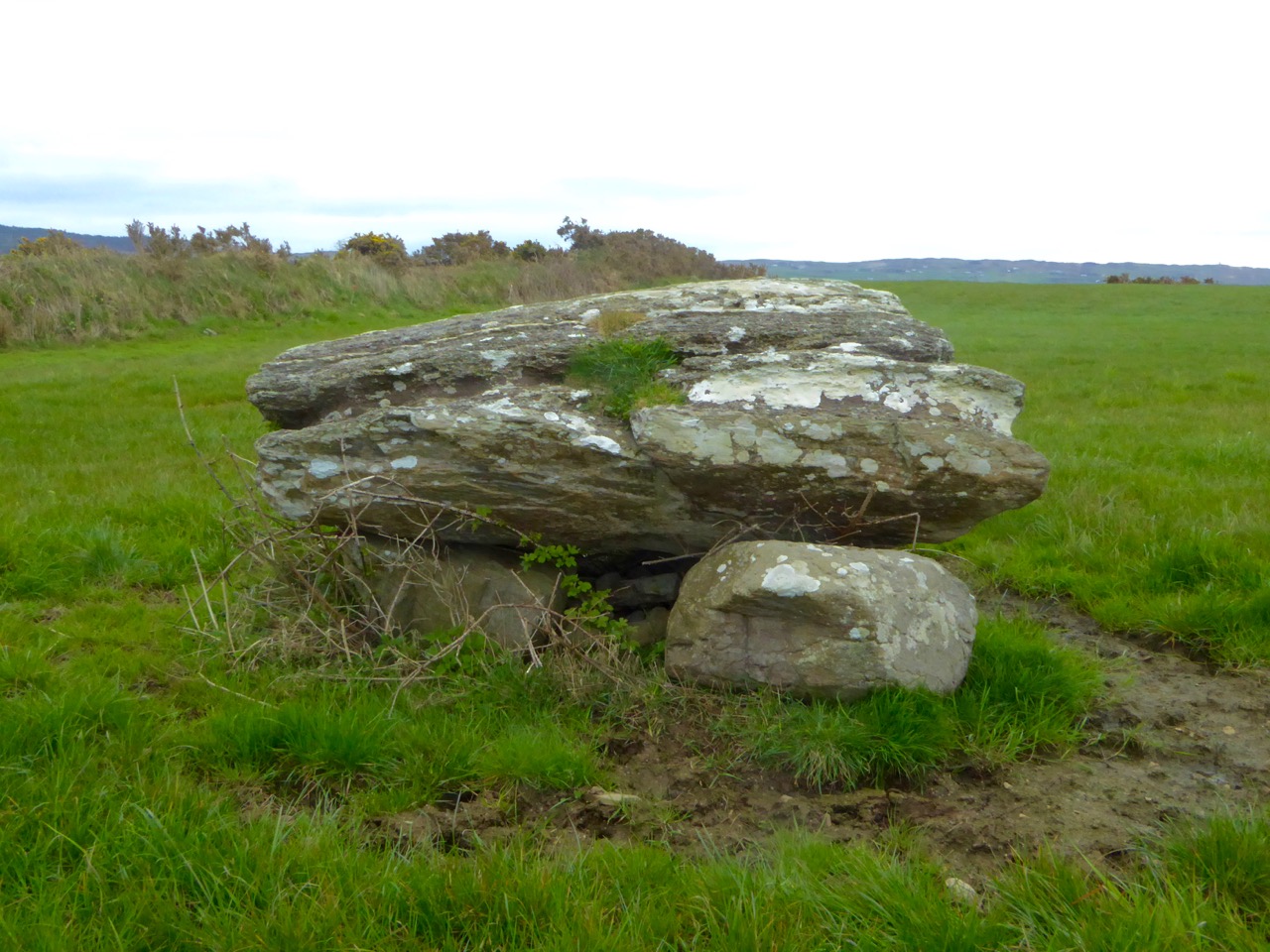 Boulder-burial in CappaghavuckeeBoulder-burial · 1251 yd
 famine farmArchaeological place · 1298 yd
 Holly HillMountain / peak · 1397 yd
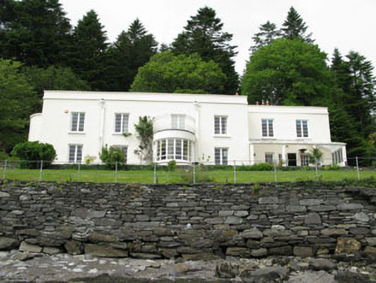 Waterfall Househouse · 1.0 mi
 TrawnablahaBeach / strand · 1.0 mi
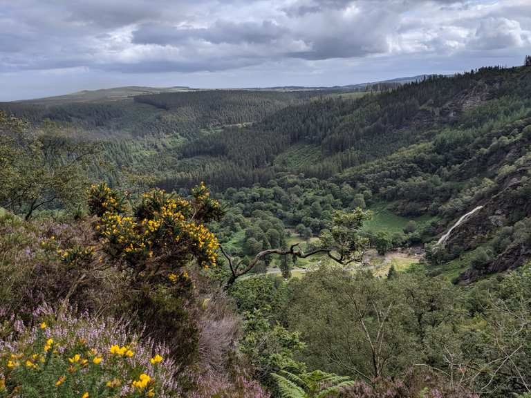 MaulinMountain / peak · 1.6 mi
 Beara WayWalking route · 2.0 mi
 Minane IslandIslet · 2.1 mi
 Bracklagh IslandIslet · 2.5 mi
 Berehaven Battalion MemorialMemorial · 2.8 mi
 Sarah Walker GalleryGallery · 2.9 mi