What is recorded here
On the W side of a lane running southward past Fethard Castle (TS070-040005-), off Watergate St., S of a 16th-century house (TS070-040006-) and immediately NE of Edmond’s Castle (TS070-040002-). Fleming (1914, frontispiece) illustrates a cluster of buildings viewed from the SE. Though not entirely clear the illustration appears to depict a small single-storey ‘cabin’ with a doorway in the S wall and perhaps a stone chimney in the rear N wall. This building is depicted on the 1904 25-inch OS map directly E of Edmond Castle. Behind this, to the N, there appears to be another building, though the E gable of the cabin and this building are indistinguishable. This building has a window in the E gable at first-floor level and the E gable is surmounted by a tall stone chimney which tapers towards the top. It appears to be roofless which suggests it is the rectangular building immediately NE of Edmond’s Castle which is roofed on the 1st (1840) ed. 6-inch OS map and unroofed by the 1904 25-inch OS ed. The stone chimney on the rear wall of the cabin may in fact be on the S wall of the building to the rear. The appearance of this building would suggest a late 16th/early 17th-century date for it.
Compiled by: Jean Farrelly
Date of upload: 10 March 2015
The monument record does not grant public access. Check the route and ask the landowner before entering private land.
- What survives
- Recorded monument
Places near here
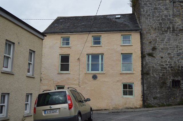 Watergate Househouse · 11 yd
 Edmond's CastleCastle · 17 yd
 Court CastleCastle · 23 yd
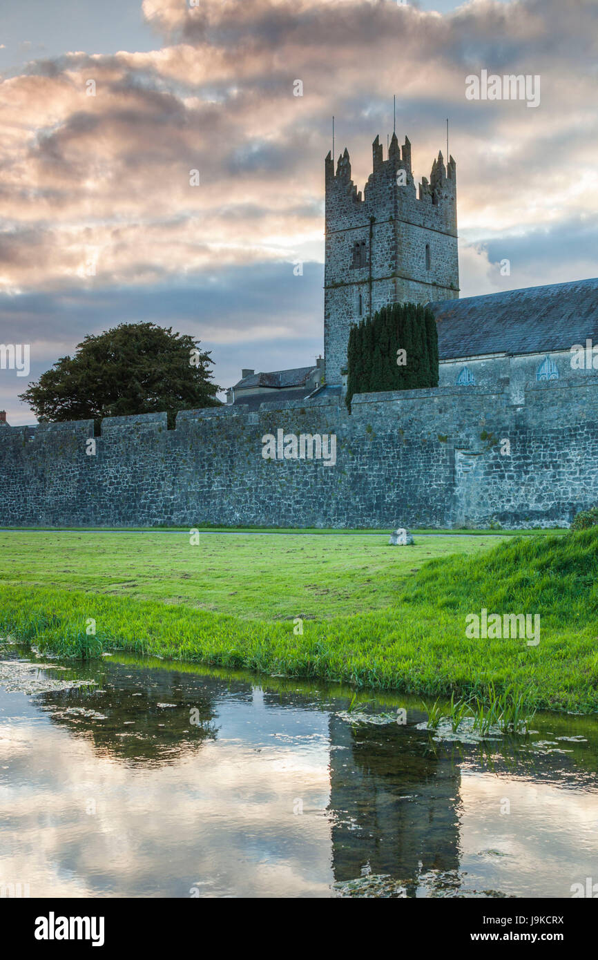 Almshouse in FethardAlmshouse · 33 yd
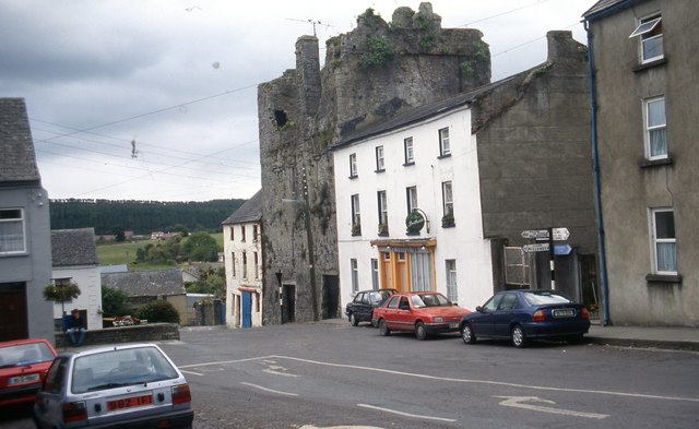 The Castle Innhouse · 39 yd
 Grave YardGraveyard · 73 yd
 European YewEuropean Yew · 86 yd
 East GateMemorial · 131 yd
 Grove WoodForest · 1.1 mi
 Kilknockan HillMountain / peak · 1.2 mi
 CarrigdotiaMountain / peak · 4.3 mi
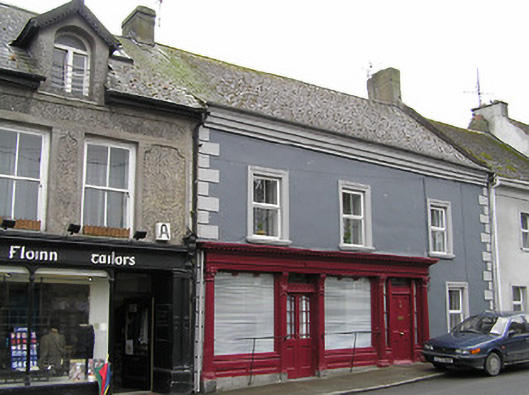 O'Sheahouse · 58 yd