What is recorded here
In flat pasture with a ruinous farmhouse immediately to the SW and a field boundary to the E. A rectangular area (dims. NE-SW 34.5m; approx. N-S 37.4m; E L 38m; S L 34.5m; W L 26m) enclosed by an earth and stone bank (base Wth 4m; top Wth 2.3m; int. H 0.6m; ext. H 1.1m-0.9m) destroyed all along its N side but elsewhere fully intact and a wide flat-bottomed outer fosse (base Wth 3.6m; top Wth 5m; ext. D 0.4m) which is partially filled along the S side and destroyed from the S through W to the N. The fosse is best preserved along the E side where there is a causewayed entrance (Wth 3.6m) which has good evidence of stone facing. Farm buildings and laneway which are depicted on the 1st (1840) ed. OS 6-inch map are built into the external face of the SW bank which has resulted in the destruction of the enclosing fosse on this side. On the 1st (1840) ed. OS 6-inch map the monument is depicted as a rectangular enclosure which is fully intact, however on the 2nd (1903) ed. the N side has been removed. There are cattle gaps in the S bank. There is a ringfort (TS042-019----) 320m to the W.
Compiled by: Jean Farrelly
Date of upload: 26 August 2011
This remains an important historical record, but the official description says the monument is no longer visible or has been destroyed. The monument record does not grant public access. Check the route and ask the landowner before entering private land.
- What survives
- No visible remains or recorded as destroyed
Places near here
 IndicatedEnclosure · 680 yd
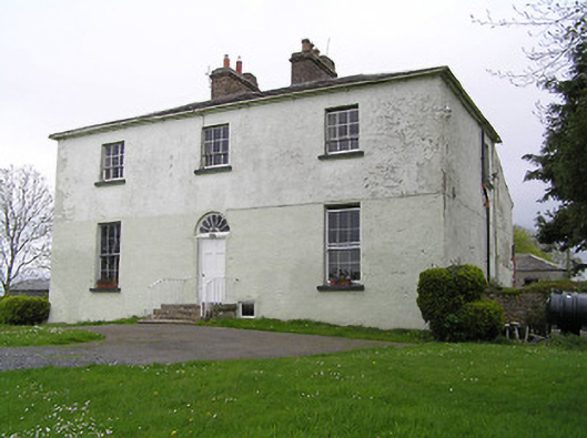 Glebe Houserectory/glebe/vicarage/curate's house · 873 yd
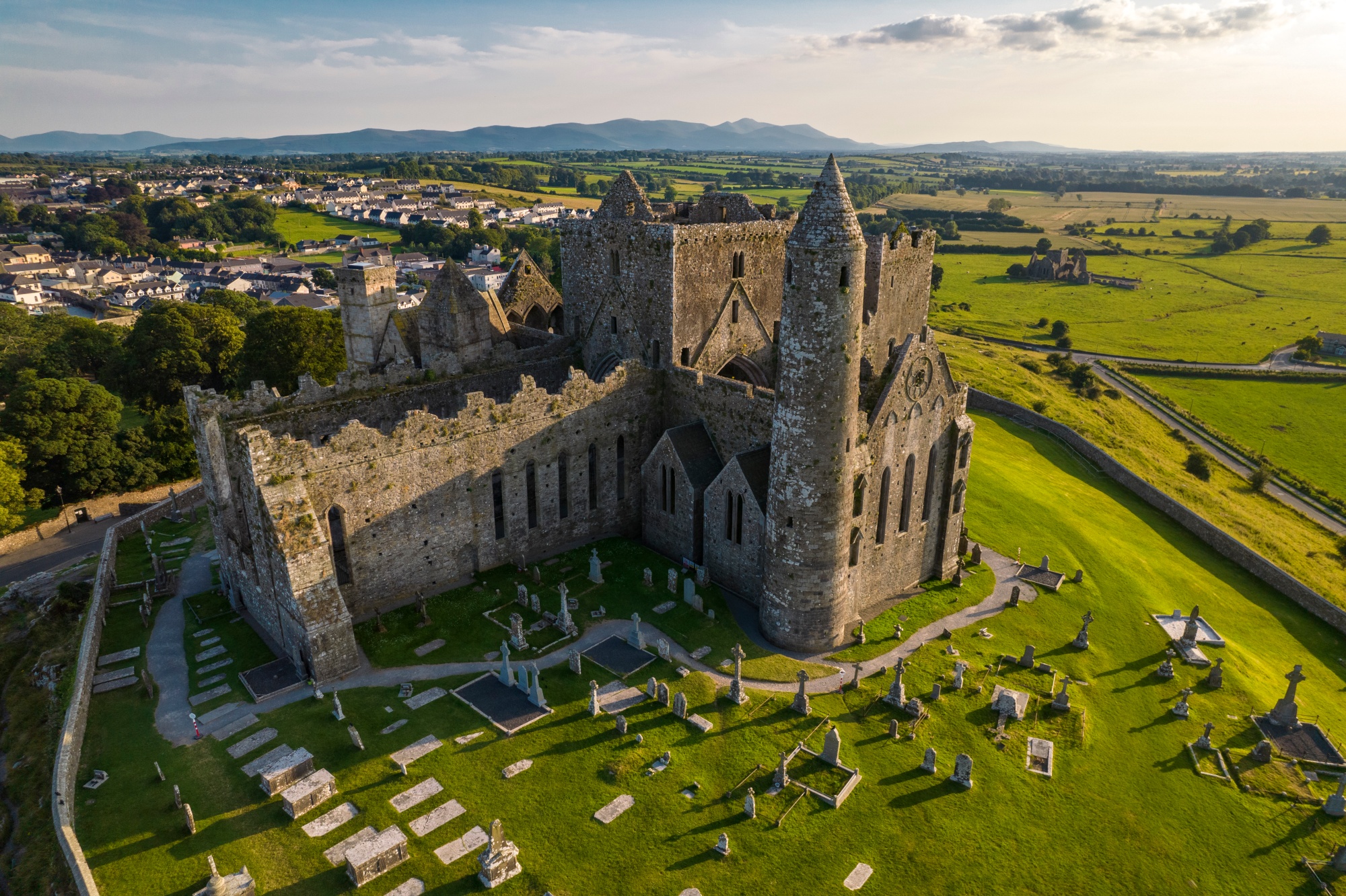 RathkianFairy fort / earthen ringfort · 1044 yd
 Bawn in GraiguepadeenBawn · 1058 yd
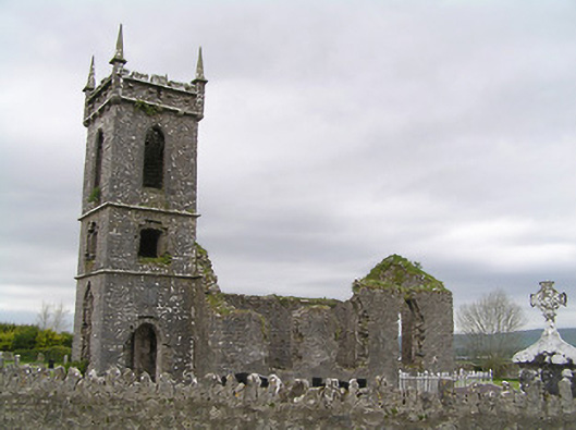 Fennor Churchchurch/chapel · 1066 yd
 Fennor Castle (in Ruins)Castle, unclassified · 1244 yd
 Kilcooly AbbeyHeritage attraction · 3.0 mi
 KilcooleyForest · 3.1 mi
 Serpentine WoodForest · 3.4 mi
 John HelyMemorial · 3.8 mi
 DelaneyMemorial · 3.9 mi
 Bregaun HillMountain / peak · 4.7 mi