What is recorded here
On flat pasture in undulating countryside with good views in all directions. An enclosure (TS043-004----) is located 600m to the N. A D-shaped enclosure (dims. c. 80m N-S; c. 60m E-W) is depicted on the 1st (1840) ed. OS 6-inch map. It is not visible at ground level.
Compiled by: Jean Farrelly
Date of upload: 26 August 2011
The monument record does not grant public access. Check the route and ask the landowner before entering private land.
- What survives
- Recorded monument
Places near here
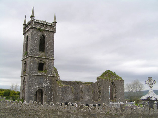 Fennor Churchchurch/chapel · 1107 yd
 RathbegFairy fort / earthen ringfort · 1173 yd
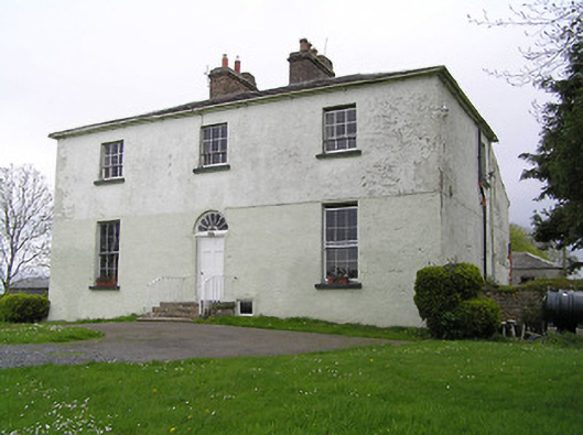 Glebe Houserectory/glebe/vicarage/curate's house · 1235 yd
 Fennor Castle (in Ruins)Castle, unclassified · 1337 yd
 St. Patricks WellHoly well · 1662 yd
 Black CastleCastle, hall-house · 1.2 mi
 Kilcooly AbbeyHeritage attraction · 2.2 mi
 KilcooleyForest · 2.3 mi
 Serpentine WoodForest · 2.6 mi
 John HelyMemorial · 3.9 mi
 DelaneyMemorial · 4.0 mi
 Bregaun HillMountain / peak · 4.1 mi