What is recorded here
Knocknadoon is a faded fairy fort on Daire's Hill, holding a forty-metre circular scar above Duniry. Quarrying has bitten into its west edge, yet the remaining earth still rises two metres against the pasture. The name connects back to Dún Doighre, suggesting the hill itself once belonged to a person now forgotten. That much of the boundary has disappeared does not diminish it; it invites imagination about what the loss has taken.
On a rise in pastureland, c. 200m to the ENE of Duniry village. Known locally as ‘Daire's Hill’. The OS Letters record that the name of the parish in Irish is ‘Dún Doighre’ and that the 'doon' which originally bore that name is on 'Knockadoon, Cnoc a dúin' (O’Flanagan 1927, Vol. 2, 490). It consists of a poorly preserved circular rath (diam. 40m) defined by a scarp (H 2.3m max.) which appears to fade into the natural hillslope from NW to NE. The W sector has been disturbed by quarrying. A church (GA116-076----) lies c. 250m to the SW.
Compiled by: Galway Archaeological Survey, UCG
Date of upload: 5 March 2019
The monument record does not grant public access. Check the route and ask the landowner before entering private land.
- What survives
- Recorded monument
Places near here
 ToberbreedaHoly well · 199 yd
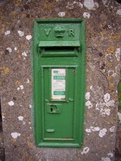 post boxpost box · 252 yd
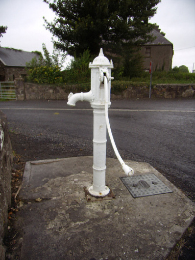 water pumpwater pump · 282 yd
 Site of CastleCastle, unclassified · 987 yd
 Site of Castle de BurghCastle, unclassified · 1.2 mi
 TobernagrannHoly well · 1.2 mi
 Quarryhill WoodWood · 1.3 mi
 Bog WoodForest · 1.6 mi
 Stonyisland BayBay · 6.0 mi
 Friar's IslandIslet · 6.1 mi
 Abbey IslandIslet · 6.2 mi
 TullymoreMountain / peak · 8.5 mi