What is recorded here
Half-buried in Donegal marsh, the Calvary keeps its shape because people still call it a Calvary. A field cut across one side, yet the circle underneath remains visible in grass and memory. Dead or alive, the place holds its form through repeated belief.
Internal Diam c. 14m. A flat, grass-covered raised area .3m above the surrounding land. It is cut on the N side by a field boundary which gives it a D-shaped plan. It was probably originally circular. It is known locally as a 'Calvary' or 'Burial Ground'. It is situated on level, marshy ground E of a stream and overlooked by steeply rising ground to the N.
The above description was derived from the 'Archaeological Survey of County Donegal. A description of the field antiquities of the County from the Mesolithic Period to the 17th century.' Compiled by: Brian Lacey with Eamon Cody, Claire Cotter, Judy Cuppage, Noel Dunne, Vincent Hurley, Celie O'Rahilly, Paul Walsh and Seán Ó Nualláin (Lifford: Donegal County Council, 1983). In certain instances the entries have been revised and updated.
Date of upload: 22 September 2008
A Neolithic passage tomb; its raised, grass-covered structure and internal diameter suggest a ceremonial or burial function. Its D-shaped plan, likely modified by later activity, indicates possible Bronze Age reuse or modification.
The monument record does not grant public access. Check the route and ask the landowner before entering private land.
- What survives
- Recorded monument
Places near here
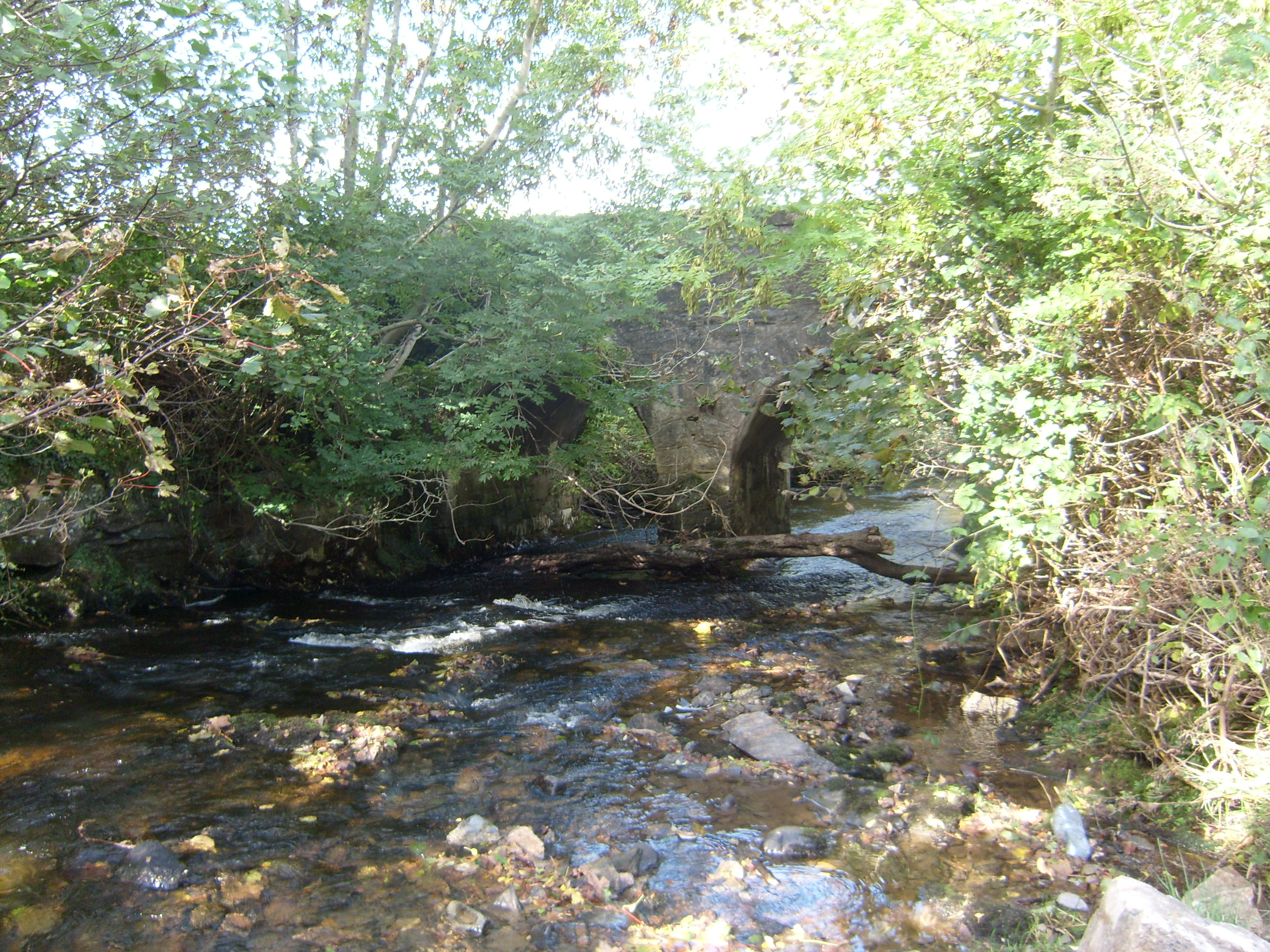 bridgebridge · 1509 yd
 Faymore DolmenNamed dolmen · 1.2 mi
 Former Creeslough EnclosureEnclosure · 1.3 mi
 Saint Michael's Catholic Churchchurch/chapel · 1.5 mi
 Duntally Wood Nature ReserveNature reserve · 1.8 mi
 MuckishMountain / peak · 2.0 mi
 Ards Forest ParkForest recreation place · 2.5 mi
 The Bridge of TearsMemorial · 3.2 mi
 The TunnelHeritage attraction · 3.2 mi
 Boys IslandIslet · 3.4 mi
 Doe CastleCastle, tower house · 3.5 mi
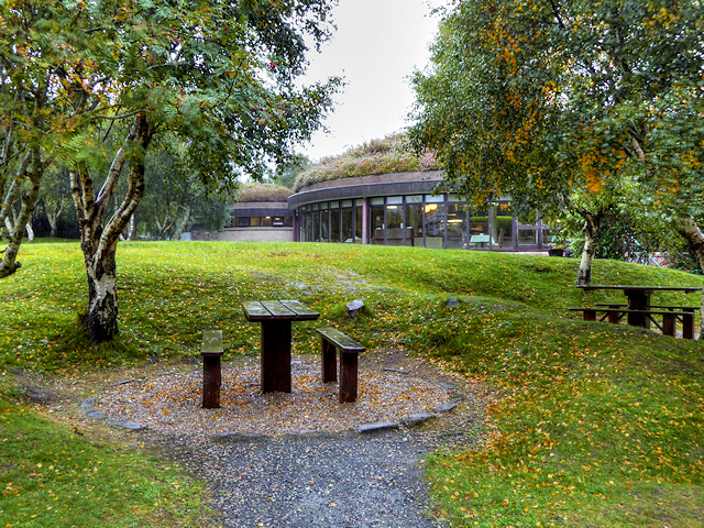 Glenveagh National Park Visitor CentreVisitor information · 4.1 mi