What is recorded here
Embanked enclosure was a fairy fort on the crest of a broad ridge in County Monaghan, Ireland. Its earthen banks formed a subcircular ring nearly forty metres across, with a narrow causeway cutting through the eastern entrance. By 1995 the inner structure had vanished, leaving only the outer field bank to mark where the ancient boundary once stood.
Located at the crest of the S-facing slope of a broad N-S ridge. This was described in 1968 as a raised subcircular area (dims 45m N-S; c. 40m E-W) defined by slight traces of an earthen bank NNW-E and a scarp elsewhere separated by a fosse from an outer earthen bank, which was incorporated into a field bank SE-W-NE. The entrance (Wth of base c. 3m) and causeway (Wth of top 3.4m; H 0.65m) were at ESE. This monument had been removed by 1995 (OSAP), apart from the outer field bank ESE-SW.
The above description is derived from the published 'Archaeological Inventory of County Monaghan' (Dublin: Stationery Office, 1986). In certain instances the entries have been revised and updated in the light of recent research.
Date of revision: 12 December 201
The monument record does not grant public access. Check the route and ask the landowner before entering private land.
- What survives
- Recorded monument
Places near here
 IndicatedHouse, 17th century · 277 yd
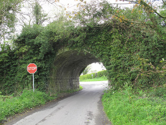 bridgebridge · 581 yd
 DoonduffFairy fort / earthen ringfort · 1690 yd
 Crannog in Drumcaw (trough By.)Crannog · 1.2 mi
 The Nut WoodForest · 1.4 mi
 Liscarney WoodWood · 1.5 mi
 Monaghan County MuseumMuseum · 2.6 mi
 Rossmore MonumentMemorial · 2.8 mi
 Bawn in Roosky (monaghan By., Monaghan Par.)Bawn · 2.8 mi
 Castleshane WaterfallWaterfall · 4.3 mi
 Banba GiantHeritage attraction · 4.4 mi
 Keady MonumentMemorial · 9.6 mi