
What is recorded here
Located towards the N end of the W shore of the rectangular Drumcaw Lough (dims c. 200m NNE-SSW; c. 180m WNW-ESE). There is a small inaccessible overgrown island (diam. c. 15m) here. (Smyth 1954, 5)
The above description is derived from the published 'Archaeological Inventory of County Monaghan' (Dublin: Stationery Office, 1986). In certain instances the entries have been revised and updated in the light of recent research.
Date of revision: 29 August 2017
The monument record does not grant public access. Check the route and ask the landowner before entering private land.
- What survives
- Recorded monument
Places near here
 Enclosure in Drumcaw (trough By.)Enclosure · 457 yd
 Enclosure in BeldergEnclosure · 708 yd
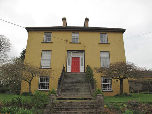 Legacurry Househouse · 1021 yd
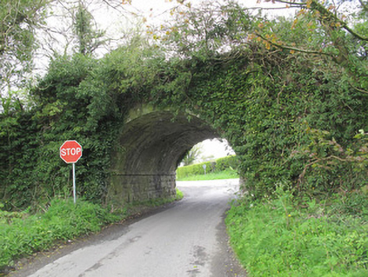 bridgebridge · 1.2 mi
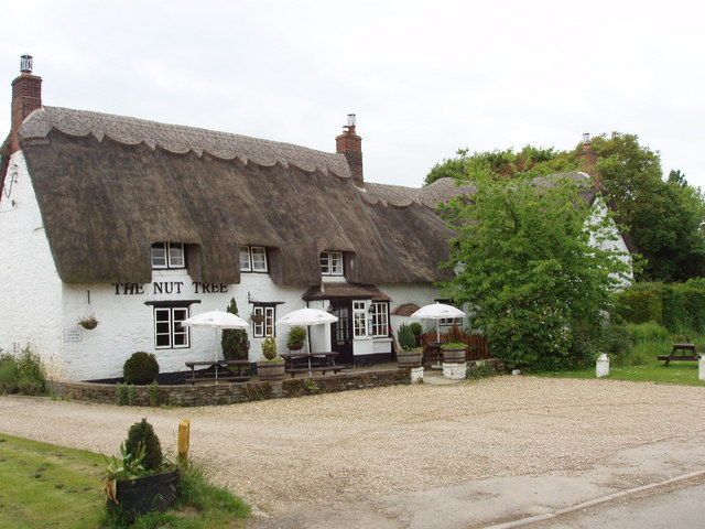 The Nut WoodForest · 2.4 mi
 Liscarney WoodWood · 2.5 mi
 Monaghan County MuseumMuseum · 3.1 mi
 Rossmore MonumentMemorial · 3.3 mi
 Bawn in Roosky (monaghan By., Monaghan Par.)Bawn · 3.4 mi
 Banba GiantHeritage attraction · 4.7 mi
 Castleshane WaterfallWaterfall · 5.5 mi
 Rough HillMountain / peak · 5.6 mi
Other information
Photo: Credit not shown in the picture search · Rights wording not checked; contact us if this picture should be removed