
What is recorded here
Grave Yard stands atop a Cork hillock, overlooking the Lee River through pasture and shadow. Its pentagonal edge holds late-medieval church ruins, a relocated bullaun stone, and rows of low unseen graves. The last recorded burial came in 1985, yet the oldest readable stone marks 1782, leaving centuries of names erased beneath the grass.
In pasture, atop hillock; overlooking Lee River to N. Access through field from road to W. Roughly pentagonal-shaped raised area (c. 40m E-W; c. 30m N-S), defined by low scarp (H c. 0.5m), enclosed within subcircular tree-lined fence lying c. 2m outside line of scarp; in 1700 it was uncertain which of these defined 'the bounds of the churchyard' (Lunham 1909, 24). Ruins of late-medieval parish church of Macloneigh (CO071-082002-) just inside scarp to N. Bullaun stone (CO071-081----) relocated inside fence to S. Most recent burial dated 1985; earliest inscribed headstone noted dated 1782; many low uninscribed gravemarkers. The above description is derived from the published 'Archaeological Inventory of County Cork. Volume 3: Mid Cork' (Dublin: Stationery Office, 1997). In certain instances the entries have been revised and updated in the light of recent research. Date of upload/revision: 14 January 2009
The monument record does not grant public access. Check the route and ask the landowner before entering private land.
- What survives
- Recorded monument
Places near here
 Coolcour Housecountry house · 943 yd
 St Bernards WellHoly well · 1168 yd
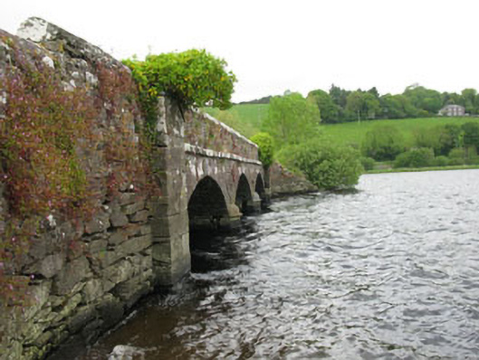 Annahala Bridgebridge · 1500 yd
 Sessile OakSessile Oak · 1504 yd
 Battle of Macroombattle · 1.0 mi
 Macroom Castle (in Ruins)Castle, tower house · 1.1 mi
 Macroom WalksVisitor information · 1.2 mi
 Burial Gd (Disused)Burial ground · 1.4 mi
 Mashanaglass Castle (in Ruins)Castle, tower house · 1.7 mi
 Ummera WoodWood · 1.7 mi
 Priest MemorialMemorial · 4.0 mi
 Clonavrick CliffCliff · 4.2 mi
Other information
Photo: Credit not shown in the picture search · Rights wording not checked; contact us if this picture should be removed