What is recorded here
In Farranamanagh, a diamond-shaped standing stone rises one metre thirty-eight from the pasture soil, pointing northeast and southwest across a gentle slope that faces Dunmanus Bay. Its rectangular faces catch the changing light while sheep move around it, making the ancient marker feel like a quiet participant in the local day rather than a forgotten ruin. The stone stands at the centre of the field, unburied by explanation, inviting people to watch the bay and remember that human hands once shaped the landscape before memory faded.
At the centre of a pasture field, on a gentle S-facing slope overlooking Dunmanus Bay. This standing stone (0.8m x 0.61m; H 1.38m) is diamond-shaped in plan and is orientated NE-SW. Each face of the standing stone is roughly rectangular in section.
The above description is derived from 'The Archaeological Inventory of County Cork. Volume 5' (Dublin: Stationery Office, 2009).
Date of upload: 22 December 2009
Likely dating to the Bronze Age, this standing stone may have had ritual or territorial significance, possibly aligned with solar or landscape features. Its orientation and location suggest a connection to local prehistoric beliefs or pathways, though specific folklore or use remains unrecorded.
The monument record does not grant public access. Check the route and ask the landowner before entering private land.
- What survives
- Recorded monument
Places near here
 Farranamanagh Loop WalkWalking route · 465 yd
 Stone RowHeritage attraction · 512 yd
 Dromnea WellHoly well · 791 yd
 Man-made underground passage in FarranamanaghMan-made underground passage · 988 yd
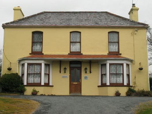 Bridge View Househouse · 1306 yd
 SeefinMountain / peak · 1336 yd
 Our Lady Star of the Sea Roman Catholic Churchchurch/chapel · 1388 yd
 connection Peakeen Loop to Seefin LoopWalking route · 1501 yd
 Nora DaltonMemorial · 1748 yd
 Rosskerrig MountainMountain / peak · 1.1 mi
 Finn McCool's SeatViewpoint · 1.1 mi
 Mass RockMemorial · 1.4 mi