What is recorded here
Farranalough is a vanished fort, erased by time and farm work, leaving only a shallow scarp and a fence that still bends around the ghost of its wall. The land slopes gently in both directions, hiding the truth in plain sight. What is left is a shape remembered by the earth, not a monument built for praise.
In pasture, land falls away gently both to N and S. Arc SSE->SW formed by scarp (H 0.5m); earthen field fence curves to S to respect it. Locally known as site of "fort". According to Ó Ríordáin (1933, 62) only a bend in the fence marks where it stood.
The above description is derived from the published 'Archaeological Inventory of County Cork. Volume 1: West Cork' (Dublin: Stationery Office, 1992). In certain instances the entries have been revised and updated in the light of recent research.
Date of upload/revision: 14 January 2009
The monument record does not grant public access. Check the route and ask the landowner before entering private land.
- What survives
- Recorded monument
Places near here
 garagegarage · 1447 yd
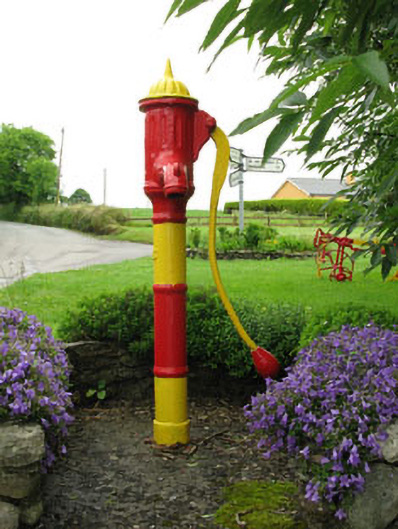 water pumpwater pump · 1463 yd
 Towers (in Ruins)House, fortified house · 1.0 mi
 IndicatedFairy fort / earthen ringfort · 1.3 mi
 Michael Collins MemorialMemorial · 1.6 mi
 Nialls GraveWedge tomb · 1.6 mi
 Green HillMountain / peak · 2.5 mi
 Mount Pleasant WoodWood · 2.7 mi
 Clodah CastleCastle · 3.3 mi
 Independence MuseumMuseum · 3.8 mi
 Kilmurry WoodsPicnic place · 4.0 mi
 Priest MemorialMemorial · 4.2 mi