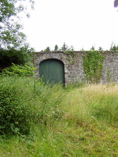
What is recorded here
Walled garden on rectangular-plan, built c. 1820 and (possibly) extended c. 1850. Formerly associated with Farragh/Farraghroe House (demolished c. 1960). Now disused. Coursed rubble limestone masonry walls having cut stone coping over. Reconstructed segmental-headed carriage arch entrance with cut limestone voussoirs and replacement timber battened double doors. Located to the southwest of the site of Farragh/Farraghroe House, and to the southwest of Ballinalee.
This walled garden was originally constructed to serve the Farragh/Farraghroe House estate (house demolished c. 1960). The imposing boundary walls are well-constructed in good quality masonry. Although now disused, it provides an interesting social and historical insight into the extensive resources required to run and maintain a large country estate in Ireland during the nineteenth century, when it would have provided a wide variety of produce for use in the main house etc. This walled garden appears to have been extended to the southeast side sometime post-1838 (map information). It forms part of a wider collection of features associated with the former Farragh/Farraghroe estate and is an integral element of the built heritage of the local area.
This does not grant access. Most recorded buildings are privately owned; view them only from public ground unless the owner allows entry.
Places near here
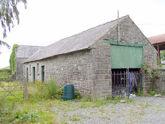 Farragh Houseoutbuilding · 457 yd
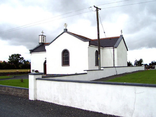 Saint Oliver Plunkett's Catholic Churchchurch/chapel · 850 yd
 Enclosure in Aghaboy (longford By.)Enclosure · 2.0 mi
 CastleCastle, Anglo-Norman masonry castle · 2.0 mi
 Bawn in LissardowlanBawn · 2.1 mi
 Field boundary in LissardowlanField boundary · 2.1 mi
 Bully's Acregraveyard/cemetery, unknown · 2.9 mi
 Saint Mel's CathedralCathedral · 4.0 mi
 First World War MemorialMemorial · 4.1 mi
 Graveyard in Curry (ardagh By., Coolamber Ed)Graveyard · 6.2 mi
 Granard MotteMotte-and-bailey castle remains · 8.6 mi
 1798 Monumentmonument · 8.6 mi
Other information
Photo: National Inventory of Architectural Heritage · Website use allowed for educational or private purposes with source credit