What is recorded here
Fairy fort / stone ringfort in Rockingham Demesne (boyle By., Rockingham.ed) is a fairy fort or stone ringfort in Rockingham Demesne (boyle By., Rockingham.ed), County Roscommon, Ireland. It occupies an oval area twenty-two metres east-west and sixteen and a half metres north-south within mixed woodland on a north-facing slope. A slight moss-covered stone spread two point six to three point eight metres wide and about zero point two metre high defines the boundary, with external facing stones visible especially to the east and south. A two point three metre entrance at the west is probably not original.
Marked only on the 1914 ed. of the OS 6-inch map, and situated in mixed woodland on a N-facing slope c. 30m from the S shore of Lough Key opposite Drummans Island. Oval area (int. dims 22m E-W; 16.5m N-S) defined by a slight moss-covered stone spread (Wth 2.6-3.8m; H c. 0.2m) with some external facing stones visible, especially E-S. There is an entrance (Wth 2.3m), probably not original, at W.
Compiled by: Michael Moore
Date of upload: 24 August 2010
The monument record does not grant public access. Check the route and ask the landowner before entering private land.
- What survives
- Recorded monument
Places near here
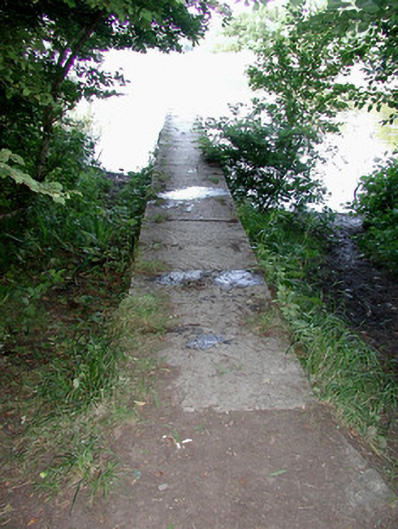 Rockingham Housequay/wharf · 80 yd
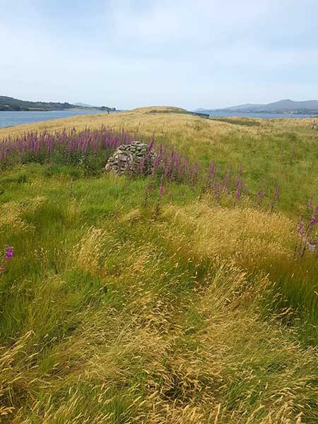 Drummans IslandIsland · 258 yd
 AbbeyReligious house, Premonstratensian canons · 469 yd
 Trinity IslandIslet · 485 yd
 Western RedcedarWestern Redcedar · 751 yd
 Embanked enclosureFairy fort / earthen ringfort · 805 yd
 Horse-chestnutHorse-chestnut · 984 yd
 Erris BayBay · 989 yd
 Lough Key Forest ParkWood · 1132 yd
 Enclosure in Rockingham Demesne (boyle By., Rockingham.ed)Enclosure · 1448 yd
 Longford HillMountain / peak · 1.0 mi
 Boyle AbbeyHeritage attraction · 2.2 mi