What is recorded here
Racorcraun holds a broken stone ring on a sun-warmed hill, wide enough for a small household yet clever enough to hide its true entrance. Cattle may have used the eastern gap, but people likely passed somewhere the stones still conceal. The fort has lost much of its shape, and that loss makes it harder to dismiss.
On the S and E-facing slopes of a hillock. Hachured on the 1840 and 1920 OS 6-inch maps. A subcircular area (int. diam. 26m N-S; 23m E-W) defined by a broad scrub-covered stone spread (Wth 6.5-9m; int. H 0.5-0.8m; ext. H 0.4-0.8m S-W to 1.2-1.4m N-E). Original inner facing (H 0.4m) survives at N and S. There is a cattle gap (Wth 1.4m) at ESE, but the original entrance is not evident. An enclosure (CL026-045----) is on lower ground c. 55m to the NE.
Compiled by: Michael Moore and Mary Tunney
Date of upload: 17 November 2025
The monument record does not grant public access. Check the route and ask the landowner before entering private land.
- What survives
- Recorded monument
Places near here
 Enclosure in Drumquin (islands By.)Enclosure · 433 yd
 Kilraghtis ChurchChurch · 639 yd
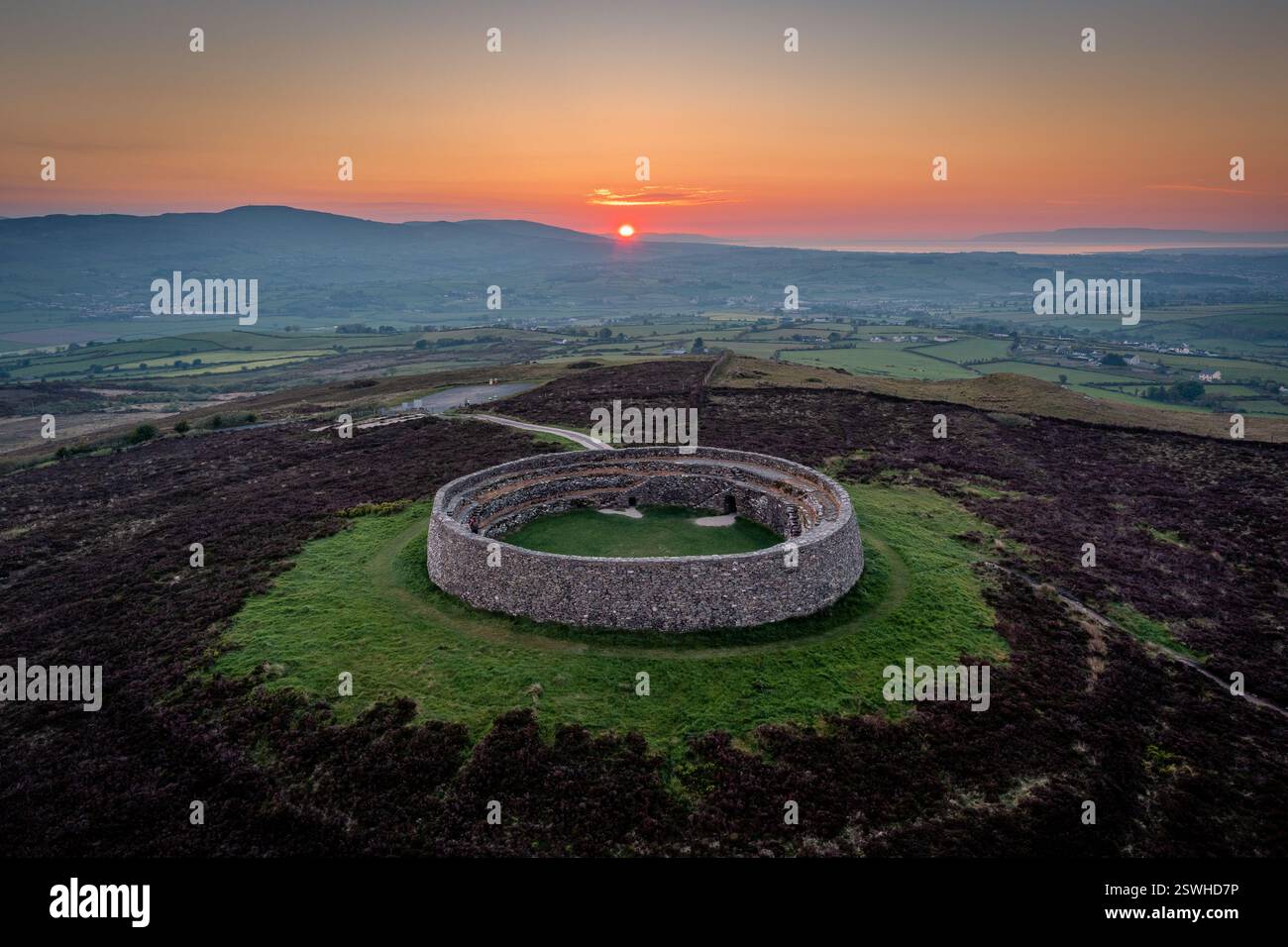 Cahereiny FortFairy fort / stone ringfort · 1156 yd
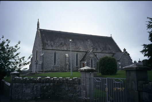 Catholic Church of the Immaculate Conceptionchurch/chapel · 1748 yd
 Kilcatherine GraveyardWood · 1.9 mi
 CastleCastle, ringwork · 2.0 mi
 O'Brien's CastleCastle · 2.0 mi
 Ardcarney WoodWood · 2.5 mi
 Mulkere MemorialMemorial · 3.4 mi
 Ennis AbbeyMuseum · 4.0 mi
 Clare MuseumMuseum · 4.1 mi
 Battle of TullyodeaBattlefield · 4.6 mi