What is recorded here
Killian holds a broken stone ring on the highest point of its hillock, marking the area as a fairy fort rather than an ordinary field boundary. The stones lie spread across a wide band, tall at the south end and almost hidden at the west, as if the circle had been dragged apart by weather or forgetfulness. A church site waits thirty metres away, suggesting people once lived between the sacred and the strange.
Situated on the highest point of a hillock. Listed as 'Enclosure' in the RMP (1996). A circular grass and scrub-covered area (int. diam. 20m N-S; 20m E-W) defined by a stone spread (Wth 4.5-6.5m; int. H 0.25m at WSW to 1.2m at S; ext. H 0.6m generally to 1.5m at S), but no facing stones are visible. There are modern entrances at W (Wth 3m) and NNE (Wth 6m). The ecclesiastical site (CL026-003001-) is c. 30m to the W.
Compiled by: Michael Moore
Date of upload: 28 November 2016
The monument record does not grant public access. Check the route and ask the landowner before entering private land.
- What survives
- Recorded monument
Places near here
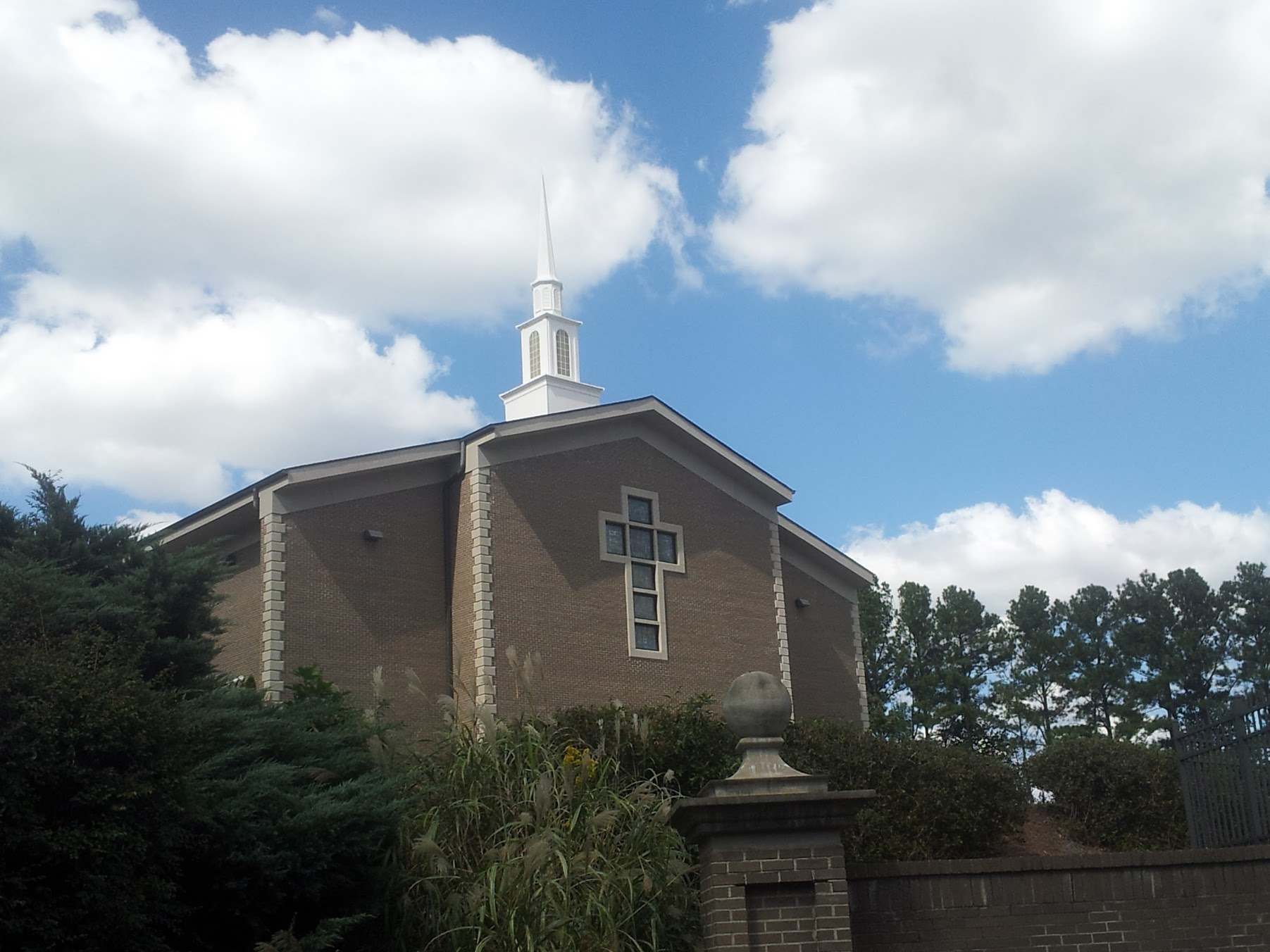 Church in KillianChurch · 77 yd
 Kilvake Church (in ruins)Church · 1201 yd
 CastleCastle, ringwork · 1375 yd
 Dromore WoodWood · 1487 yd
 Dromore CastleCastle · 1519 yd
 Gorteenflugh FortEnclosure · 1542 yd
 IndicatedEnclosure · 1.0 mi
 Mulkere MemorialMemorial · 2.5 mi
 Ballygriffy WoodWood · 2.5 mi
 Battle of TullyodeaBattlefield · 3.0 mi
 Poul na gollorCave · 7.1 mi
 Alice and Gwendoline CaveMuseum · 7.4 mi