
What is recorded here
Situated in a slight hollow on an undulating landscape with rock outcrop. Hachured as a subrectangular enclosure (dims. c. 50m N-S; c. 50m E-W) with a wide perimeter (Wth c. 10m) on the 1842 ed. of the OS 6-inch map and as a rectangular field on the 1920 ed. A rectangular area (dims. 48m E-W; 40m N-S) defined by drystone walls. This field may be mis-represented on the 1842 ed. of the map.
Compiled by: Michael Moore
Date of upload: 3 May 2017
A local fairy fort (ringfort/rath); wider significance not recorded.
The monument record does not grant public access. Check the route and ask the landowner before entering private land.
- What survives
- Recorded monument
Places near here
 Ballycarroll CaherFairy fort / stone ringfort · 478 yd
 IndicatedEnclosure · 527 yd
 CastleCastle, ringwork · 662 yd
 Templehughoconnell (in Ruins)Church · 1452 yd
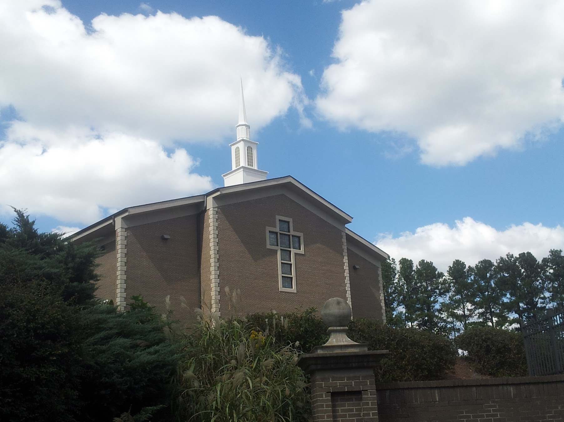 Church in KillianChurch · 1492 yd
 Dromore WoodWood · 1747 yd
 Dromore CastleCastle · 1.2 mi
 Ardcarney WoodWood · 1.7 mi
 Battle of TullyodeaBattlefield · 3.0 mi
 Mulkere MemorialMemorial · 3.3 mi
 Ennis AbbeyMuseum · 4.4 mi
 Clare MuseumMuseum · 4.5 mi
Other information
Photo: Credit not shown in the picture search · Rights wording not checked; contact us if this picture should be removed