What is recorded here
That is the only way to build a place where memory and myth still move.
On a S-facing slope in grassland. Poorly preserved subcircular cashel (33m E-W; 31m N-S) defined by a low grassed-over drystone wall. At WSW the wall projects outwards where there is a gap (Wth 8.7m); this appears to be original. A field wall cuts across the monument from NNE to S.
Compiled by: Galway Archaeological Survey, UCG
Date of upload: 8 December 2017
The monument record does not grant public access. Check the route and ask the landowner before entering private land.
- What survives
- Recorded monument
Places near here
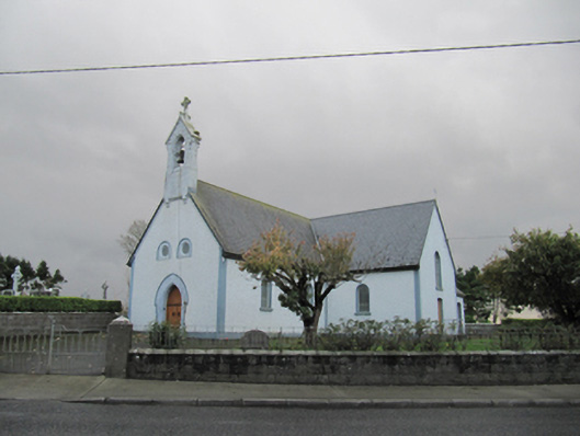 Catholic Church of Our Lady of Lourdeschurch/chapel · 1638 yd
 Old ChapelChurch · 1638 yd
 Dartfield Horse MuseumHeritage attraction · 1701 yd
 Drought Castle (in Ruins)Castle, tower house · 1.1 mi
 Man-made underground passage in Carra (loughrea By.)Man-made underground passage · 1.6 mi
 Enclosure in CahernagarryEnclosure · 1.6 mi
 Kilcooly Castle (in ruins)Castle, tower house · 2.8 mi
 Turoe StoneHeritage attraction · 3.8 mi
 Bush IslandIslet · 5.0 mi
 Middle IslandIslet · 5.0 mi
 Long PointHeadland · 5.2 mi
 Battle of AughrimMajor battlefield · 7.7 mi