What is recorded here
In rough pasture, on top of a rise. A roughly circular area (int. diam. 24m) enclosed by an earth and stone bank (Wth 0.8m; int. H 0.25m; ext. H 1m). The entrance (Wth 3m) is at NW. There is a low disused stone field boundary wall on top of the bank along the W arc. During a previous site inspection in 1985 it was recorded that the interior rose slightly towards the centre and a shallow rectilinear depression was noted inside the wall at N, probably due to quarrying (SMR (1989) file). A rectangular farm shed, now unroofed, is built into the ridge at SW.
The above description is derived from the published 'Archaeological Inventory of County Sligo' compiled by Ursula Egan, Elizabeth Byrne, Mary Sleeman with Sheila Ronan and Connie Murphy (Dublin Stationery Office, 2005).
Date of upload: 18 January 2008
The monument record does not grant public access. Check the route and ask the landowner before entering private land.
- What survives
- Recorded monument
Places near here
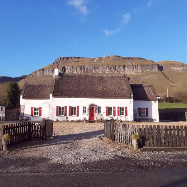 Enclosure in CloonmacduffEnclosure · 186 yd
 St. Patricks WellHoly well · 409 yd
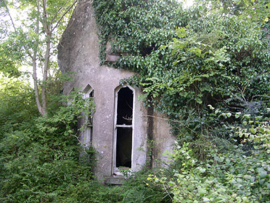 Markree Castlegate lodge · 527 yd
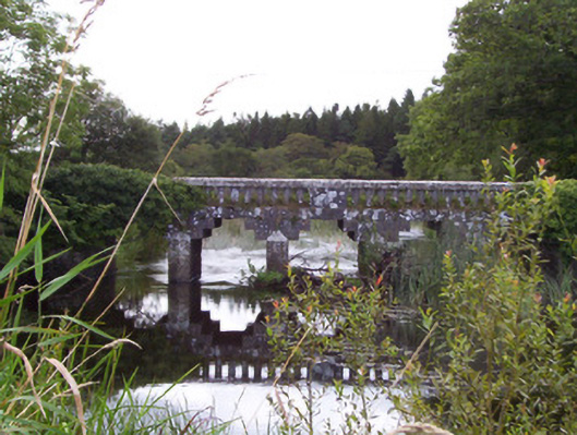 bridgebridge · 808 yd
 CastleCastle, motte and bailey · 1070 yd
 European ashEuropean ash · 1152 yd
 Teeling MonumentMemorial · 1621 yd
 Battle of Collooneybattle · 1625 yd
 Union RockForest · 1683 yd
 Castle (in Ruins)Castle, tower house · 2.1 mi
 BunreecoillMountain / peak · 2.2 mi
 Giants GraveArchaeological place · 2.3 mi