What is recorded here
Not marked on any edition of the OS 6-inch map. Recorded in 1991 as being located within a hollow in otherwise undulating pasture. It comprised a possibly circular area (int. diam. c.20m) enclosed by the partially ruined remains of an enclosing wall, composed of large boulders and heavily overgrown. There was no indication of a fosse or entrance visible (SMR (1989) file). There are no remains of this potential monument now visible at ground level. A house and a tennis court are located 30m to the NE of the site.
Compiled by: Patrick F. O'Donovan
Date of upload: 16 April 2013
The monument record does not grant public access. Check the route and ask the landowner before entering private land.
- What survives
- Recorded monument
Places near here
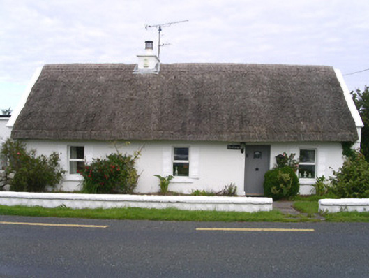 The Cottagehouse · 242 yd
 IndicatedFairy fort / stone ringfort · 245 yd
 Giants GravesCourt tomb · 653 yd
 Creevykeel Court TombNeolithic court tomb · 659 yd
 Church (in Ruins)Church · 1660 yd
 Classiebawn WoodsWood · 1.2 mi
 Unbaptised Children MonumentMemorial · 1.3 mi
 assassination of Louis Mountbatten, 1st Earl Mountbatten of Burmaassassination · 1.8 mi
 Trawalua StrandBeach / strand · 1.9 mi
 Wild Atlantic Way: Mullaghmore HeadVisitor information · 2.4 mi
 Mullaghmore HeadVisitor information · 2.4 mi
 Cormac Reagh's HoleCave · 3.5 mi