
What is recorded here
Death and mystery surround the area. The fort stands fifty metres wide, its curved stone wall marking a boundary where human life and fairy belief still tangle. Children may have been buried nearby, their small bodies given to the earth while adults watched or waited. The stones do not explain themselves. They hold the shape of what was lost, and they invite you to keep it company.
Internal diam. 50m. A modern curving stone wall seems to reflect the single-ringed enclosure shown on the 2nd edition of the OS 6-inch map. A children's burial ground is reported to be in the vicinity and probably at this site (M.R. Calhoun).
The above description was derived from the 'Archaeological Survey of County Donegal. A description of the field antiquities of the County from the Mesolithic Period to the 17th century.' Compiled by: Brian Lacey with Eamon Cody, Claire Cotter, Judy Cuppage, Noel Dunne, Vincent Hurley, Celie O'Rahilly, Paul Walsh and Seán Ó Nualláin (Lifford: Donegal County Council, 1983). In certain instances the entries have been revised and updated.
Date of upload: 22 September 2008
The monument record does not grant public access. Check the route and ask the landowner before entering private land.
- What survives
- Recorded monument
Places near here
 Straid Stone RingfortFairy fort / stone ringfort · 1205 yd
 Roosky Enclosure near ClonmanyEnclosure · 1314 yd
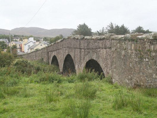 Clonmany Bridgebridge · 1731 yd
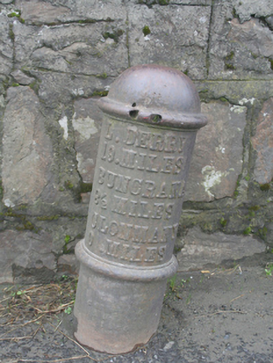 milestone/milepostmilestone/milepost · 1755 yd
 Clonmany Early Church GraveyardGraveyard · 1.1 mi
 Glenevin WaterfallWaterfall · 1.2 mi
 Glenevin Waterfall, Clonmanywaterfall · 1.2 mi
 Glenevin Waterfall WalkOfficial walking route · 1.3 mi
 Glendowen craft shopHeritage attraction · 1.5 mi
 Raghtin MoreMountain / peak · 1.7 mi
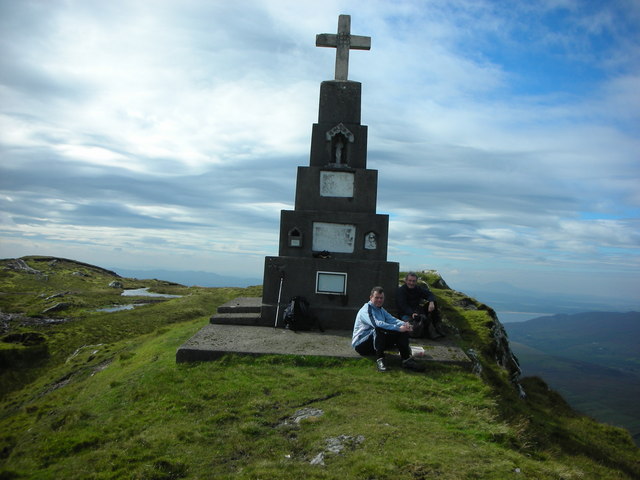 BulbinMountain / peak · 1.8 mi
 Gap of Mamore ViewpointViewpoint · 3.0 mi
Other information
Photo: Credit not shown in the picture search · Rights wording not checked; contact us if this picture should be removed