What is recorded here
Scholarstown’s fairy fort is a truncated circular ringfort with a twenty-four-metre interior, excavated in 1985 before motorway construction. Its bank, external fosse, D-shaped wooden structure, hearth, pits and post-holes suggest a small working home rather than a grand showpiece. The flint scraper and possible loom weight hint that someone cut, shaped or woven there, while the fairies in the name preserve the old temptation to make the place bigger than the evidence.
Situated in an area of undulating grassland SE of the Dodder valley. Named on the 1843 OS 6-inch map as a roughly circular, hachured enclosure. The site was excavated in 1985 prior to motorway construction (Keeley 1985, 23). It comprised a truncated circular structure (int. diam. 24m) defined by a bank and external fosse. Excavations revealed a D-shaped wooden structure, a hearth and a series of pits and post-holes within the interior. Finds included a flint scraper and a possible loom weight.
Compiled by Geraldine Stout
Date of upload: 25th April 2012
The monument record does not grant public access. Check the route and ask the landowner before entering private land.
- What survives
- Recorded monument
Places near here
 Fulacht fia in ScholarstownFulacht fia · 249 yd
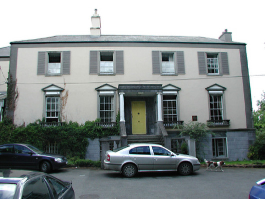 Knocklyon Housecountry house · 584 yd
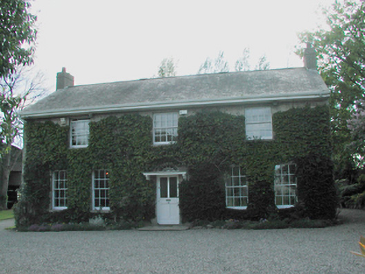 Scholarstown Househouse · 604 yd
 Stocking Wood NewsVisitor information · 828 yd
 St Columkilles WellHoly well · 1227 yd
 Jim Lawlor Bridge PlaqueVisitor information · 1.0 mi
 Gary Miller MemorialMemorial · 1.1 mi
 PACT WoodlandWood · 1.1 mi
 Fitwalk CircuitWalking route · 1.2 mi
 Waterfall viewing pointHeritage attraction · 1.3 mi
 Flat cemetery in EdmondstownFlat cemetery · 1.3 mi
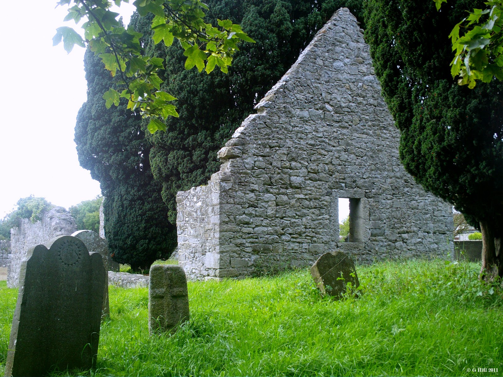 CastleCastle, tower house · 1.3 mi