What is recorded here
Fairy forts hide plain sight. Rathmichael sits beneath a golf course on Carrickgollogan Mountain, its forty-metre circle marked only by soil and memory. Men swung clubs above chambers where ambiguity still breathes.
The ringfort site is situated on the NE summit of Carrickgollogan Mountain which is the site of a golf course. The site was identified on an aerial photograph (CUCAP, AOW 77) taken in 1961 when the W and SW sections of the site were still upstanding. The E side of the same site is indicated by a curving field boundary on the 1937 OS 6-inch map. It was still visible on an aerial photograph taken in 1971 (F. S. I.3.740). An aerial photograph taken in 1992 (OS 10 4725) shows the site as a cropmark which comprises a roughly circular area (int. diam. c. 40m) enclosed by a bank visible as a soilmark with an external fosse and an annexe at the NW.
Compiled by: Geraldine Stout and Padraig Clancy.
Revised upload on: 15 April 2018.
The monument record does not grant public access. Check the route and ask the landowner before entering private land.
- What survives
- Recorded monument
Places near here
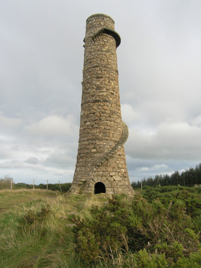 chimneychimney · 410 yd
 Ballycorus Lead Mines ChimneyRuins · 412 yd
 Hillfort in RathmichaelHillfort · 560 yd
 Well in RathmichaelWell · 592 yd
 Bawn in RathmichaelBawn · 595 yd
 Puck's CastleCastle · 610 yd
 Rathmichael WalkWalking route · 769 yd
 Carrickgollogan HillMountain / peak · 1171 yd
 Barnaslingan - Pine loop trailWalking route · 1347 yd
 Barnaslingan HillMountain / peak · 1665 yd
 Dingle GlenNature reserve · 1.2 mi
 St. James GateVisitor information · 1.6 mi