What is recorded here
Pollaneyster holds an oval hollow instead of a visible fort, yet local memory still calls the grassland a fairy fort. The shape sits above bogland, small enough to be overlooked but distinct enough to resist forgetting. People may have lived there before the land took the wall back, or the hollow may be a marker for something older and less honest. Either way, the ground keeps its own claim.
In undulating grassland overlooking bogland to SE. Local tradition of a 'fort' which was associated with a CBG (GA006-126001-). No visible surface trace survives: an oval hollow marks the site.
The above description is derived from the published 'Archaeological Inventory of County Galway Vol. II - North Galway'. Compiled by Olive Alcock, Kathy de hÓra and Paul Gosling (Dublin: Stationery Office, 1999).
Date of upload: 05 August 2010
The monument record does not grant public access. Check the route and ask the landowner before entering private land.
- What survives
- Recorded monument
Places near here
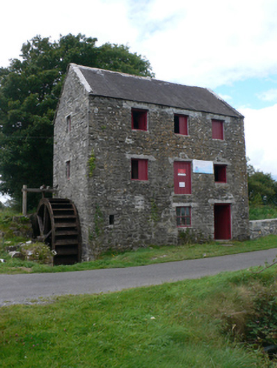 mill (water)mill (water) · 674 yd
 St. Patricks ShrineShrine · 681 yd
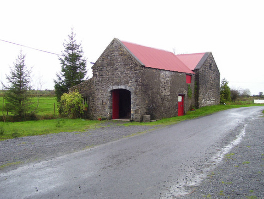 forge/smithyforge/smithy · 709 yd
 Castle (in ruins)Castle, unclassified · 1494 yd
 Enclosure in CastletogherEnclosure · 1534 yd
 Rook HillMountain / peak · 1.1 mi
 Site of Ballyglass CastleCastle, unclassified · 2.1 mi
 Site of Killomaine Grave YardArchaeological place · 4.6 mi
 Slieve DartMountain / peak · 6.1 mi
 HawthornHawthorn · 8.8 mi
 Sally IslandIslet · 12 mi
 Aughrane WoodsForest · 13 mi