What is recorded here
Thirty-five metres across in rolling Galway grassland, the breached ringfort still holds a hidden underground passage in its western sector. Cattle gaps puncture the bank, suggesting the fort served living animals long after human hands stopped shaping it. The passage remains unexplained, a dark tube beneath the pasture that invites curiosity rather than certainty.
In rolling grassland. Poorly preserved circular rath (D 35m) defined by a bank breached by numerous cattle gaps. In W sector of interior is a Man-made underground passage (GA073-093001-)
The above description is derived from the published 'Archaeological Inventory of County Galway Vol. II - North Galway'. Compiled by Olive Alcock, Kathy de hÓra and Paul Gosling (Dublin: Stationery Office, 1999).
Date of upload: 05 August 2010
The monument record does not grant public access. Check the route and ask the landowner before entering private land.
- What survives
- Recorded monument
Places near here
 LiscullaFairy fort / ringfort · 336 yd
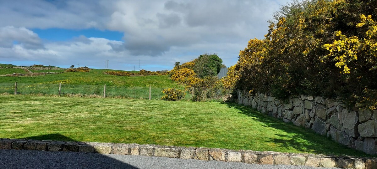 Enclosure in HillswoodEnclosure · 984 yd
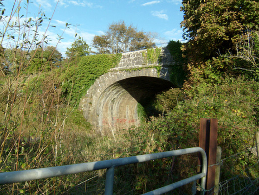 bridgebridge · 1066 yd
 Quarry in Ballyglass (kilconnell By.)Quarry · 1281 yd
 Castle (in Ruins)Castle, unclassified · 1.4 mi
 Large-leaved LimeLarge-leaved Lime · 1.5 mi
 Kilconnell AbbeyHeritage attraction · 1.6 mi
 Western RedcedarWestern Redcedar · 1.9 mi
 CastleCastle, unclassified · 2.2 mi
 Battle of Aughrim Interpretative CentreMuseum · 5.6 mi
 Battle of AughrimMajor battlefield · 6.1 mi
 The bloody HollowHeritage attraction · 6.4 mi