What is recorded here
Gortnagroagh holds a fading oval cashel, forty-two metres long, where a grassed-over drystone wall still marks the east, south and north sides. The lost western edge has surrendered completely to rough scrubland and flooding water, erasing the shape that once defied the storm.
In rough scrubland prone to flooding. Very poorly preserved oval cashel (N-S c. 42m) defined by a grassed-over drystone wall from E through S to N; no visible surface trace survives elsewhere.
The above description is derived from the published 'Archaeological Inventory of County Galway Vol. I - West Galway'. Compiled by Paul Gosling (Dublin: Stationery Office, 1993).
Date of upload: 05 August 2010
The monument record does not grant public access. Check the route and ask the landowner before entering private land.
- What survives
- Recorded monument
Places near here
 water pumpwater pump · 320 yd
 Enclosure in Rosscahill WestEnclosure · 835 yd
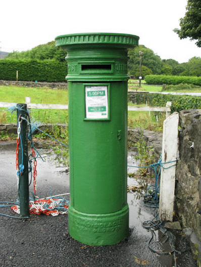 post boxpost box · 881 yd
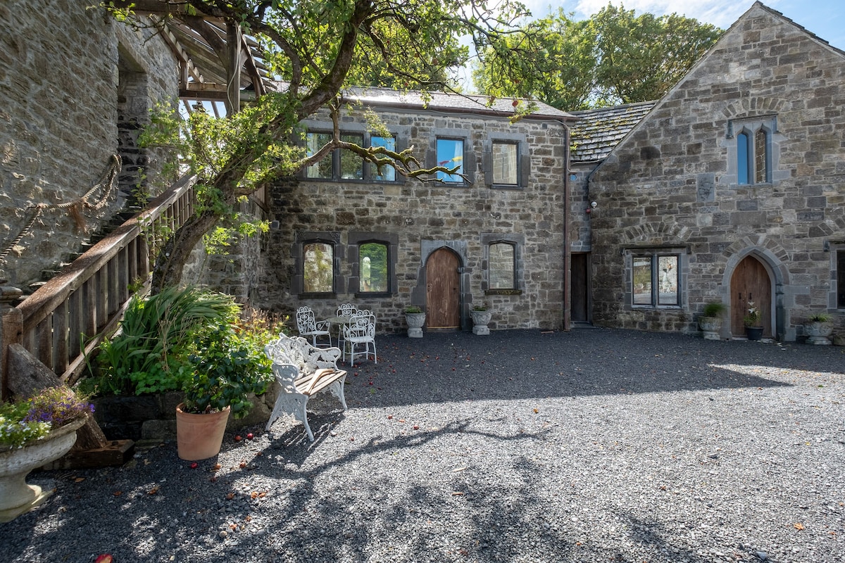 Enclosure in An FhaicheEnclosure · 1012 yd
 Annagh WoodWood · 1.5 mi
 Brigit's GardenHeritage attraction · 1.8 mi
 Aughnanure Castle (in ruins)Castle, tower house · 1.9 mi
 Oghery Castle in ruinsCastle, unclassified · 2.3 mi
 Potatoe IslandsIslet · 2.5 mi
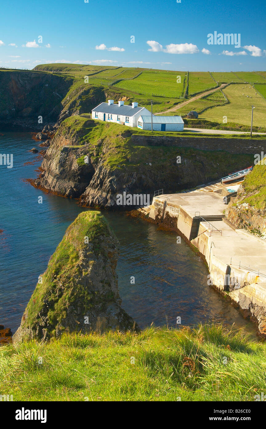 Illaunfadda BegIslet · 2.5 mi
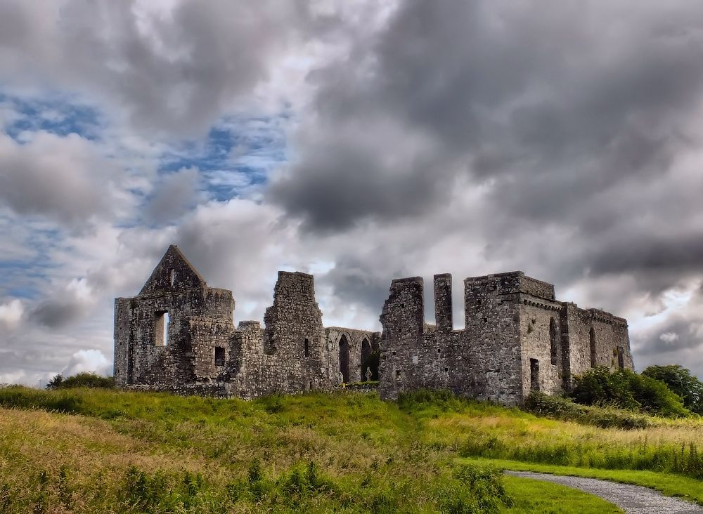 Cnoc an Bhaile NuaMountain / peak · 3.3 mi
 Owenriff WayWalking route · 3.7 mi