What is recorded here
Fairy fort / ringfort in Finnure is a fairy fort or ringfort in Finnure, County Sligo, Ireland. It occupies a gentle north west facing pasture slope where a raised circular area measures twenty nine metres east west and twenty eight metres north south. A narrow earth and stone bank surrounds the centre, although a break at the east may mark the original entrance and quarry holes appear inside the south east boundary.
Situated on a gentle NW - facing slope in pasture. Raised circular area (dims. 29m E-W; 28m N-S) enclosed by a narrow bank of earth and stone (Wth 4.4m; int. H 0.8m). From NNE-NE the bank has been removed and the defining element is a scarp (H 0.2m). The outline of an infilled fosse is identifiable (Wth 4m) at the external foot of the bank and scarp. A break in the bank at E (Wth 2m) may mark the original entrance. There are quarry holes inside the bank at SE and SSE one of which (SL013-019002-) had erroneously been classified as a listed as a 'Building' in the RMP (1995).
Compiled by: Mark Keegan
Date of upload: 19 January 2011
This remains an important historical record, but the official description says the monument is no longer visible or has been destroyed. The monument record does not grant public access. Check the route and ask the landowner before entering private land.
- What survives
- No visible remains or recorded as destroyed
Places near here
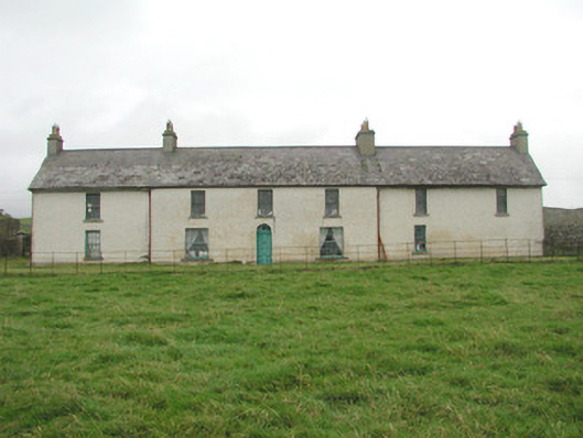 Toberpatrick Lodgehouse · 902 yd
 Enclosure in CarrowgilhoolyEnclosure · 1629 yd
 IndicatedHilltop enclosure · 1.0 mi
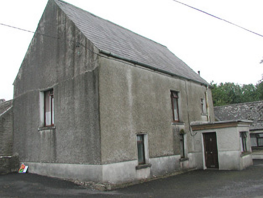 Stand Househouse · 1.1 mi
 Bawn in CarrowbrickeenBawn · 1.1 mi
 CastleCastle, Anglo-Norman masonry castle · 1.1 mi
 Derkmore PointHeadland · 1.2 mi
 Dunmoran StrandBeach / strand · 1.8 mi
 Sligo BayBay · 2.2 mi
 Aughris BeachBeach / strand · 2.7 mi
 Lahanacappul IslandIslet · 2.8 mi
 Giant's GraveArchaeological place · 2.9 mi